File:Connecticut Population Map.png
Click on a date/time to view the file as it appeared at that time.
| Date/Time | Thumbnail | Dimensions | User | Comment | |
|---|---|---|---|---|---|
| current | 03:46, 2 June 2014 | 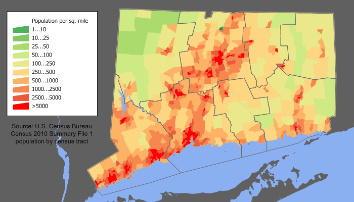 | 700 × 400 (111 KB) | JeffyP | I'm here to make the world a bit little smaller ☺ |
| 14:01, 11 December 2011 |  | 700 × 400 (161 KB) | JimIrwin | 2010 census update | |
| 18:59, 20 April 2008 |  | 700 × 450 (34 KB) | File Upload Bot (Magnus Manske) | {{BotMoveToCommons|en.wikipedia}} {{Information |Description={{en|en:Category:U.S._State_Population_Maps en:Category:Connecticut maps Connecticut population density map based on Census 2000. See the [[:en:User:JimIrwin/Lineage_of_population |
File usage
The following page uses this file:
Global file usage
The following other wikis use this file:
- Usage on bn.wikipedia.org
- Usage on de.wikipedia.org
- Usage on fr.wikipedia.org
- Usage on fy.wikipedia.org
- Usage on he.wikipedia.org
- Usage on hu.wikipedia.org
- Usage on incubator.wikimedia.org
- Usage on it.wikipedia.org
- Usage on ja.wikipedia.org
- Usage on ro.wikipedia.org
- Connecticut (dezambiguizare)
- Connecticut
- Categorie:Statul Connecticut, SUA
- Format:Connecticut stat SUA
- Listă de comitate din statul Connecticut
- Bridgeport, Connecticut
- Categorie:Liste Connecticut
- Noua Anglie
- Comitatul Middlesex, Connecticut
- Categorie:Comitatul Middlesex, Connecticut
- Listă de oameni din statul Connecticut
- Comitatul Fairfield, Connecticut
- Categorie:Comitatul Fairfield, Connecticut
- Categorie:Comitatul Hartford, Connecticut
- Comitatul Hartford, Connecticut
- Categorie:Guvernul statului Connecticut
- Categorie:Sedii de comitate din Connecticut
- Comitatul New London, Connecticut
- New London, Connecticut
- Categorie:Comitatul New London, Connecticut
- Listă de orașe din statul Connecticut
- Categorie:Zone metropolitane din Connecticut
- Categorie:Zone micropolitane din Connecticut
- Categorie:Comitatul Litchfield, Connecticut
- Categorie:Comitatul New Haven, Connecticut
- Categorie:Comitatul Tolland, Connecticut
- Categorie:Comitatul Windham, Connecticut
- New Haven, Connecticut
- Categorie:Localități din Connecticut
- Categorie:Forme de relief din Connecticut
- Categorie:Politicieni din statul Connecticut
- Categorie:Regiuni ale statului Connecticut
- Greenwich, Connecticut
- Categorie:New Haven, Connecticut
- Categorie:New London, Connecticut
- Categorie:Bridgeport, Connecticut
- Categorie:Dezastre naturale din statul Connecticut
- Categorie:Oameni din Connecticut după comitat
- Categorie:Republicani din Connecticut
- Categorie:Instituții de învățământ superior din Connecticut
View more global usage of this file.