File:Map Lorient.jpg
Click on a date/time to view the file as it appeared at that time.
| Date/Time | Thumbnail | Dimensions | User | Comment | |
|---|---|---|---|---|---|
| current | 12:27, 26 July 2011 | 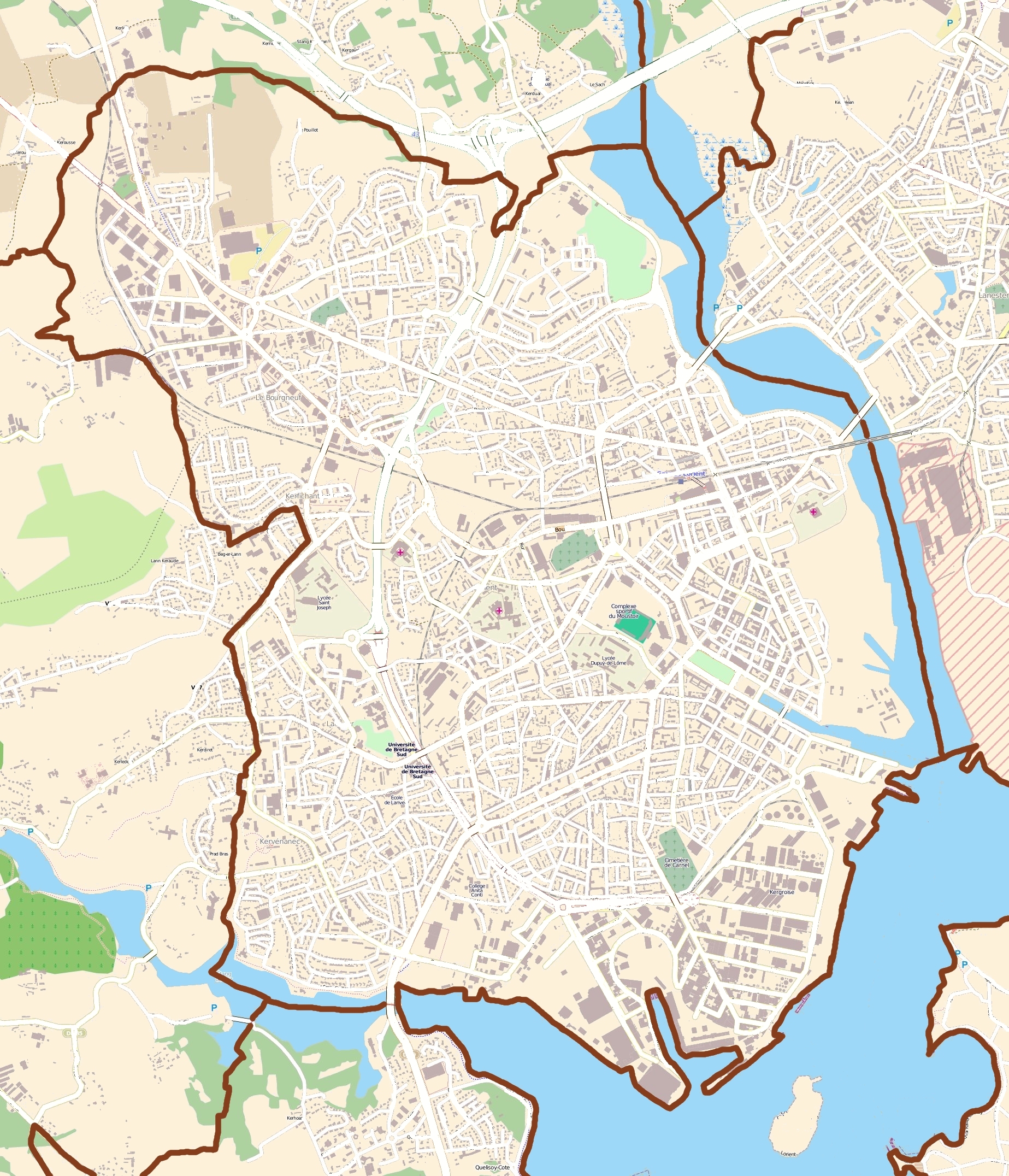 | 1,847 × 2,152 (2.73 MB) | XIIIfromTOKYO | rem street names |
| 10:18, 26 July 2011 |  | 1,847 × 2,152 (3.02 MB) | XIIIfromTOKYO | {{Information |Description ={{en|1=Map of Lorient, France}} {{fr|1=carte de Lorient, France}} |Source =OpenStreetMap |Author =OpenStreetMap contributors |Date =2011-07-26 |Permission ={{OpenStreetMap}} |other_versions = }} |
File usage
The following 5 pages use this file:
Global file usage
The following other wikis use this file:
- Usage on ar.wikipedia.org
- Usage on azb.wikipedia.org
- Usage on br.wikipedia.org
- Usage on ceb.wikipedia.org
- Usage on da.wikipedia.org
- Usage on es.wikipedia.org
- Usage on fa.wikipedia.org
- Usage on fr.wikipedia.org
- Lorient
- Festival interceltique de Lorient
- Stade du Moustoir
- Keryado
- Chambre de commerce et d'industrie du Morbihan
- Base sous-marine de Lorient
- Cité de la voile Éric Tabarly
- Campus de Lanveur
- Campus de Saint-Maudé
- Centre commercial La Galerie Lanester
- Festival Les Indisciplinées
- Église Notre-Dame-de-Victoire de Lorient
- Presqu'île de Keroman
- Port de pêche de Keroman
- Modèle:Géolocalisation/Lorient
- Port de commerce de Kergroise
- Chapelle Saint-Christophe de Lorient
- Enclos du port
- Hôtel Gabriel
- Tour de la Découverte
- Pont de Kermelo
- Monument expiatoire de Lorient
- Maison (Lorient, 18 rue Jules Legrand)
- Hôpital des armées Calmette
- Île Saint-Michel
- Église Notre-Dame-de-Bonne-Nouvelle de Lorient
- Lycée Dupuy-de-Lôme
- Hôpital du Scorff
- Pont des Indes
- Château de Soye (Morbihan)
- Lycée Colbert de Lorient
- 253 cité de Soye
- Arsenal de Lorient
- SMS Regensburg
- Espace Découverte du sous-marin Flore
- Pôle course au large
- Pont Saint-Christophe
- Utilisateur:Parcdesoye/Brouillon
- 253 bis cité de Soye
- Le Polygone
View more global usage of this file.