File:Raddusch 07-2017 Img01.jpg
Thank you.
| Camera location | | View this and other nearby images on: OpenStreetMap |
|---|
| Copyleft: This work of art is free; you can redistribute it and/or modify it according to terms of the Free Art License. You will find a specimen of this license on the Copyleft Attitude site as well as on other sites. |
Click on a date/time to view the file as it appeared at that time.
| Date/Time | Thumbnail | Dimensions | User | Comment | |
|---|---|---|---|---|---|
| current | 04:19, 17 November 2017 | 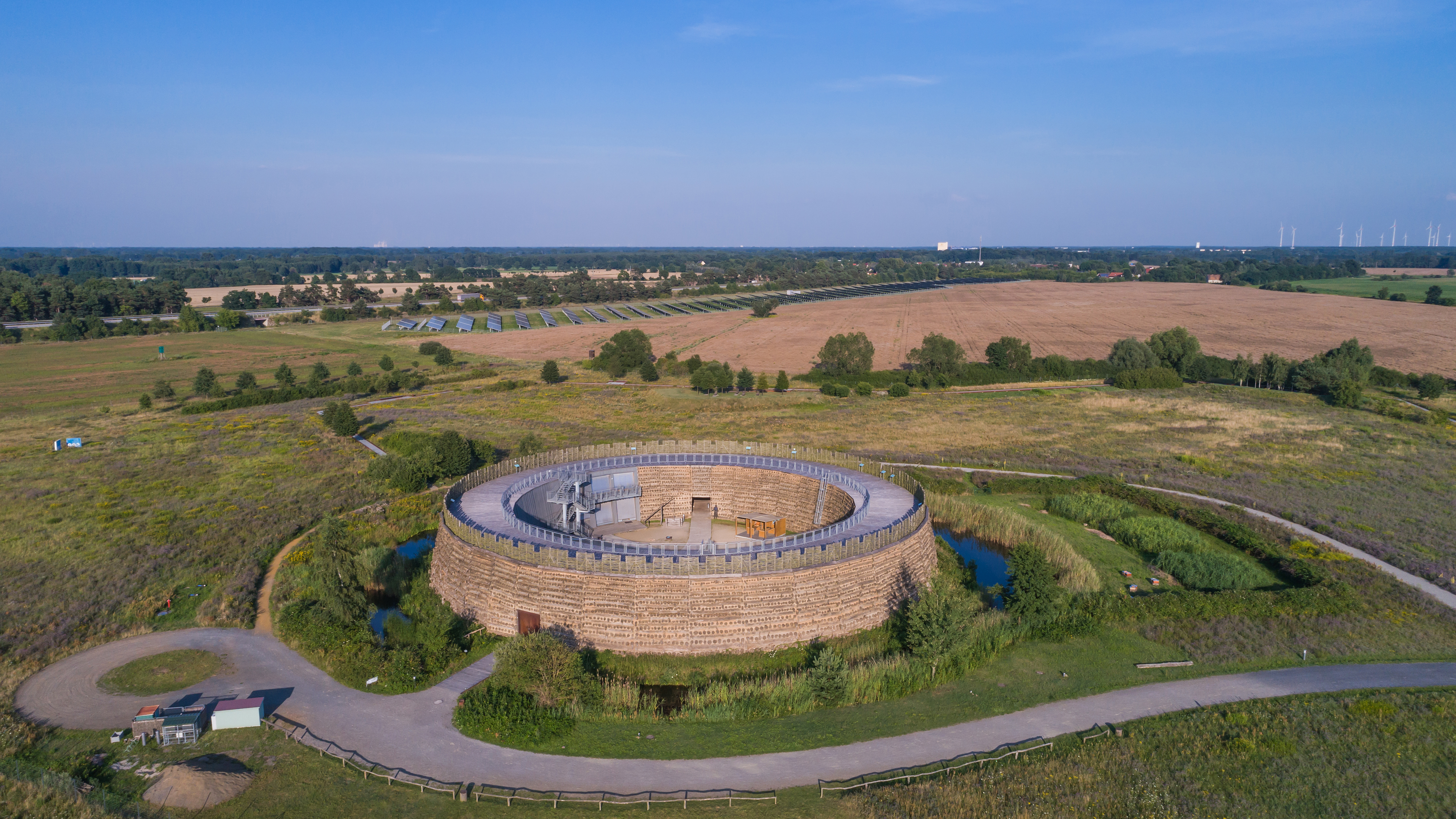 | 5,364 × 3,017 (6.11 MB) | A.Savin | {{User:A.Savin/F |Description= {{en|Aerial photo of Slavic Castle of Raddusch (Brandenburg, Germany)}} {{de|Luftaufnahme der Slawenburg Raddusch (Brandenburg, Deutschland)}} {{ru|Аэрофотосъёмка славянской крепости Рад... |
The following 4 pages use this file:
The following other wikis use this file: