File:TR Izmir Asv2020-02 Img40 Alaybey Tram Stop.jpg
Thank you.
| Camera location | | View this and other nearby images on: OpenStreetMap |
|---|
| Copyleft: This work of art is free; you can redistribute it and/or modify it according to terms of the Free Art License. You will find a specimen of this license on the Copyleft Attitude site as well as on other sites. |
Click on a date/time to view the file as it appeared at that time.
| Date/Time | Thumbnail | Dimensions | User | Comment | |
|---|---|---|---|---|---|
| current | 03:28, 29 October 2020 | 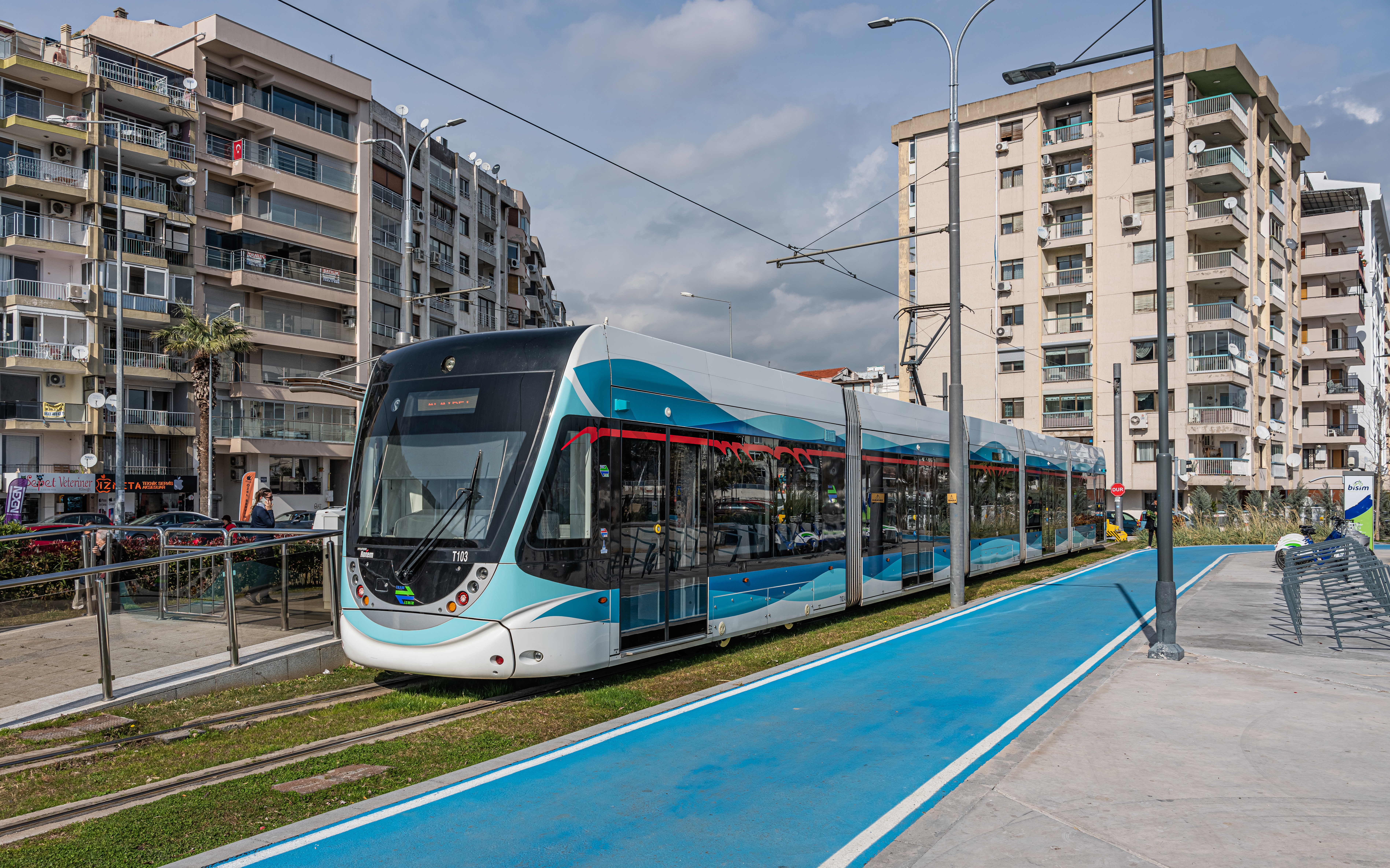 | 7,586 × 4,741 (16.11 MB) | A.Savin | {{User:A.Savin/F|L=0 |Description= {{en|Tram at «Alaybey» stop in Izmir, Turkey}} {{ru|Трамвай у остановки «Алайбей» в Измире, Турция}} |Year=2020 |Country=Turkey |Month=02 |Day=12}} {{Location|38|27|35.8|N|27|7|37.7|E|region:TR-35}} Category:Taken with Sony ILCE-7RM3 Category:Taken with Sony FE 24-105mm F4 G OSS Category:2020 in İzmir Category:Buildings in Karşıyaka Category:Tram stops in İzmir Category:Trams in İzmir Category:Hyundai Rotem [[Category:Tram overhe... |
The following 4 pages use this file:
The following other wikis use this file: