File:1359VOIVODATE.png
Click on a date/time to view the file as it appeared at that time.
| Date/Time | Thumbnail | Dimensions | User | Comment | |
|---|---|---|---|---|---|
| current | 14:49, 1 September 2023 | 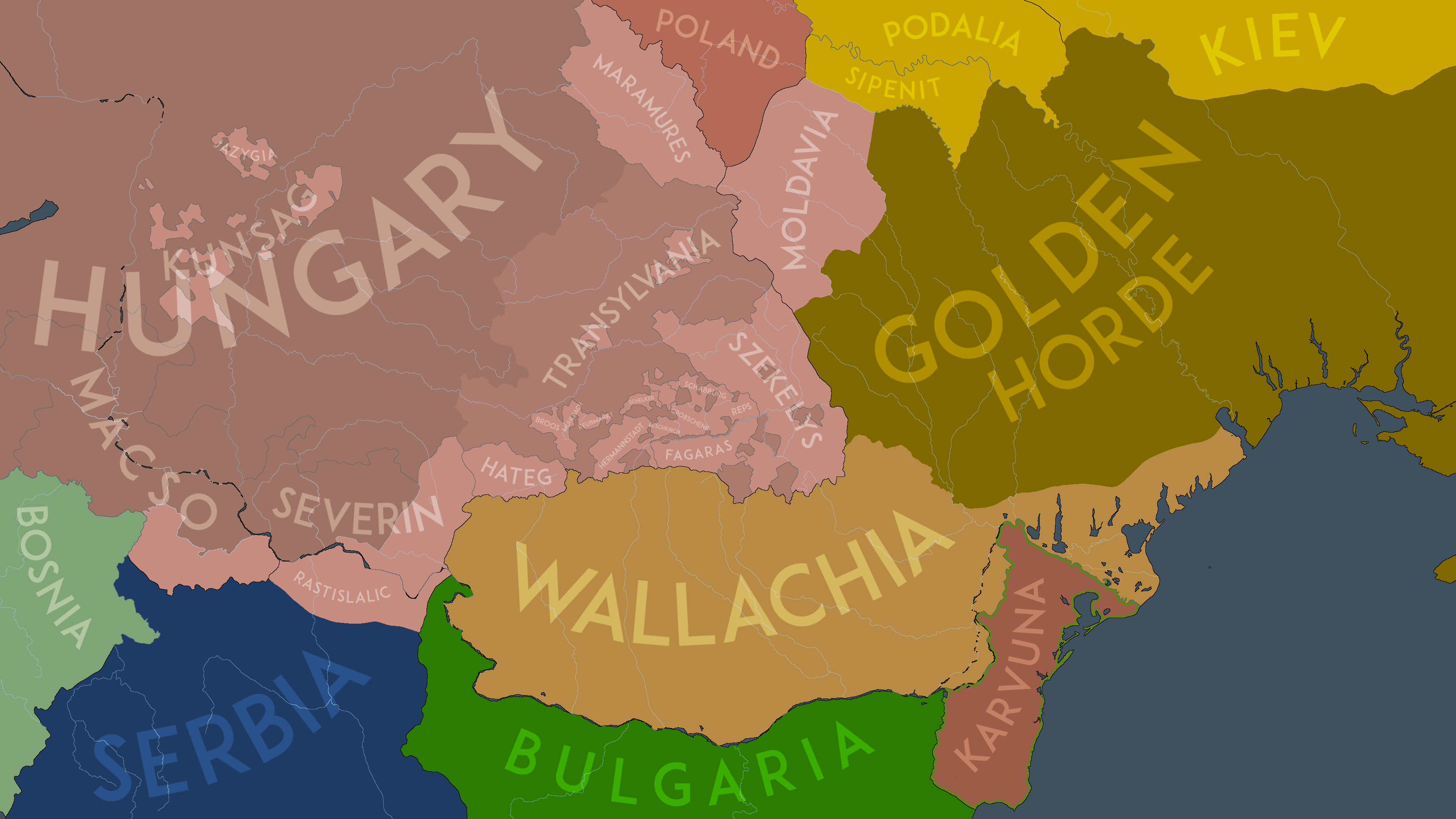 | 3,445 × 1,937 (631 KB) | NeimWiki | Changed Macso's counties in Hungary. |
| 17:27, 11 August 2023 |  | 3,445 × 1,937 (629 KB) | NeimWiki | Fixed Severin. | |
| 16:51, 11 August 2023 |  | 3,445 × 1,937 (629 KB) | NeimWiki | Changed the outline of autonomies. | |
| 09:05, 15 July 2023 |  | 3,445 × 1,937 (616 KB) | NeimWiki | Made Fagaras a a district within Hungary. | |
| 09:31, 7 July 2023 |  | 3,445 × 1,937 (613 KB) | NeimWiki | Relabeled Kunsag, as they had not split yet. | |
| 14:00, 6 July 2023 |  | 3,445 × 1,937 (622 KB) | NeimWiki | Added the Rastislalic family in Serbia. | |
| 11:44, 6 July 2023 |  | 3,445 × 1,937 (616 KB) | NeimWiki | The previous version of the file showcased what Moldavia must've looked like at its foundation, after further research i've come to the conclusion this was done before 1359 and decided to update the map to be more in line with my other ones. The map is still representative of 1359, but instead it showcases the immediate period after the foundation of the Metropolis of Ungra-Wallachia. | |
| 14:55, 13 May 2022 |  | 3,445 × 1,937 (577 KB) | NeimWiki | Uploaded own work with UploadWizard |
File usage
The following pages on the English Wikipedia use this file (pages on other projects are not listed):
Global file usage
The following other wikis use this file:
- Usage on ro.wikipedia.org