This work is in the public domain in its country of origin and other countries and areas where the copyright term is the author's life plus 100 years or fewer.
You must also include a United States public domain tag to indicate why this work is in the public domain in the United States.
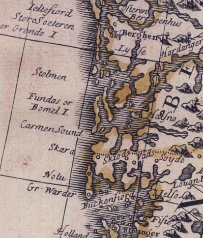
{{Information |Description={{en|1=Cropped part of Norway-map, showing coastal parts of Hordaland and Rogaland.}} |Source=unknown |Author=unknown |Date=1720 |Permission= |other_versions= }} <!--{{ImageUpload|full}}-->
 You must also include a United States public domain tag to indicate why this work is in the public domain in the United States.