File:1820 Salem Massachusetts Map BySaunders BPL 12094.png
Click on a date/time to view the file as it appeared at that time.
| Date/Time | Thumbnail | Dimensions | User | Comment | |
|---|---|---|---|---|---|
| current | 15:39, 15 February 2011 | 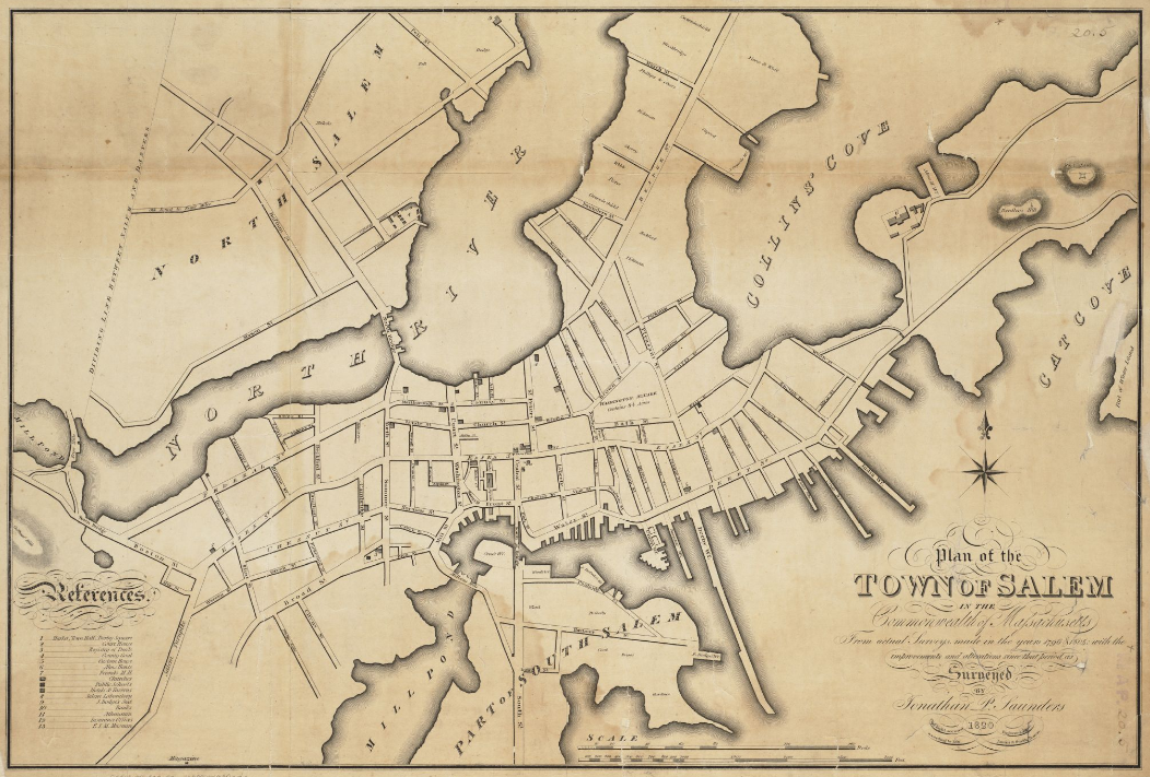 | 1,052 × 711 (1.2 MB) | M2545 | {{Information |Description=Plan of the town of Salem in the commonwealth of Massachusetts, from actual surveys, made in the years 1796 & 1804; with the improvements and alterations since that period as surveyed |Source=http://maps.bpl.org/details_12094 |D |
File usage
The following 28 pages use this file:
- Andrew–Safford House
- Bridge Street Neck Historic District
- Charter Street Historic District
- Chestnut Street District
- City Hall (Salem, Massachusetts)
- Cotting–Smith Assembly House
- Crombie Street District
- Crowninshield–Bentley House
- Derby Waterfront District
- Downtown Salem District
- Gardner–Pingree House
- Gedney and Cox Houses
- Hamilton Hall (Salem, Massachusetts)
- John Ward House (Salem, Massachusetts)
- Joseph Fenno House
- Nathaniel Bowditch House
- Nathaniel Hawthorne Birthplace
- Phillips Library (Massachusetts)
- Pickering House (Salem, Massachusetts)
- Quaker Meeting House (Peabody Essex Museum)
- Salem, Massachusetts
- Salem Common Historic District (Salem, Massachusetts)
- Salem Harbor
- Salem Hospital (Massachusetts)
- Salem Maritime National Historic Site
- Stephen Phillips House
- Timeline of Salem, Massachusetts
- West Cogswell House
Global file usage
The following other wikis use this file:
- Usage on be.wikipedia.org
- Usage on de.wikipedia.org
- Usage on es.wikipedia.org
- Usage on fr.wikipedia.org
- Usage on hy.wikipedia.org
- Usage on hyw.wikipedia.org
- Usage on it.wikipedia.org
- Usage on ja.wikipedia.org
- Usage on kk.wikipedia.org
- Usage on ky.wikipedia.org
- Usage on lmo.wikipedia.org
- Usage on mk.wikipedia.org
- Usage on mr.wikipedia.org
- Usage on pl.wikipedia.org
- Usage on pt.wikipedia.org
- Usage on ro.wikipedia.org
- Usage on ru.wikipedia.org
- Usage on sh.wikipedia.org
- Usage on sr.wikipedia.org
- Usage on sv.wikipedia.org
- Usage on tr.wikipedia.org
- Usage on uk.wikipedia.org
- Usage on zh.wikipedia.org