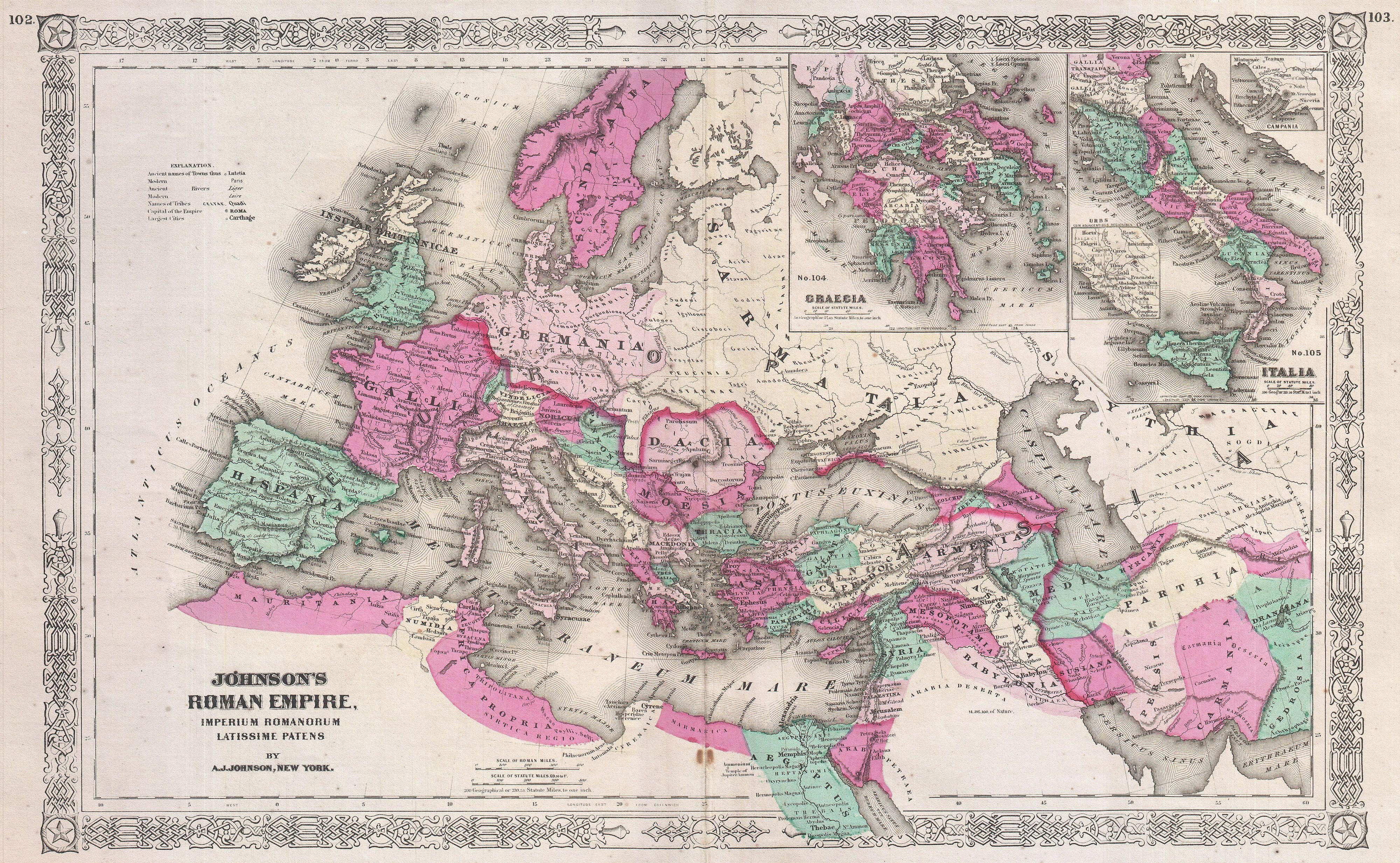
File:1864 Johnson Map Of The Roman Empire - Geographicus - RomanEmpire-johnson-1864.jpg
Johnson's New Illustrated (Steel Plate) Family Atlas, (1864 or 1865 edition).
Permission
(Reusing this file)
This file was provided to Wikimedia Commons by Geographicus Rare Antique Maps, a specialist dealer in rare maps and other cartography of the 15th, 16th, 17th, 18th and 19th centuries, as part of a cooperation project.
|
(Reusing this file)
|
This is a faithful photographic reproduction of a two-dimensional, public domain work of art. The work of art itself is in the public domain for the following reason:
The official position taken by the Wikimedia Foundation is that "faithful reproductions of two-dimensional public domain works of art are public domain".
This photographic reproduction is therefore also considered to be in the public domain in the United States. In other jurisdictions, re-use of this content may be restricted; see Reuse of PD-Art photographs for details. | ||||