File:1963 American Mount Everest Approach March.svg
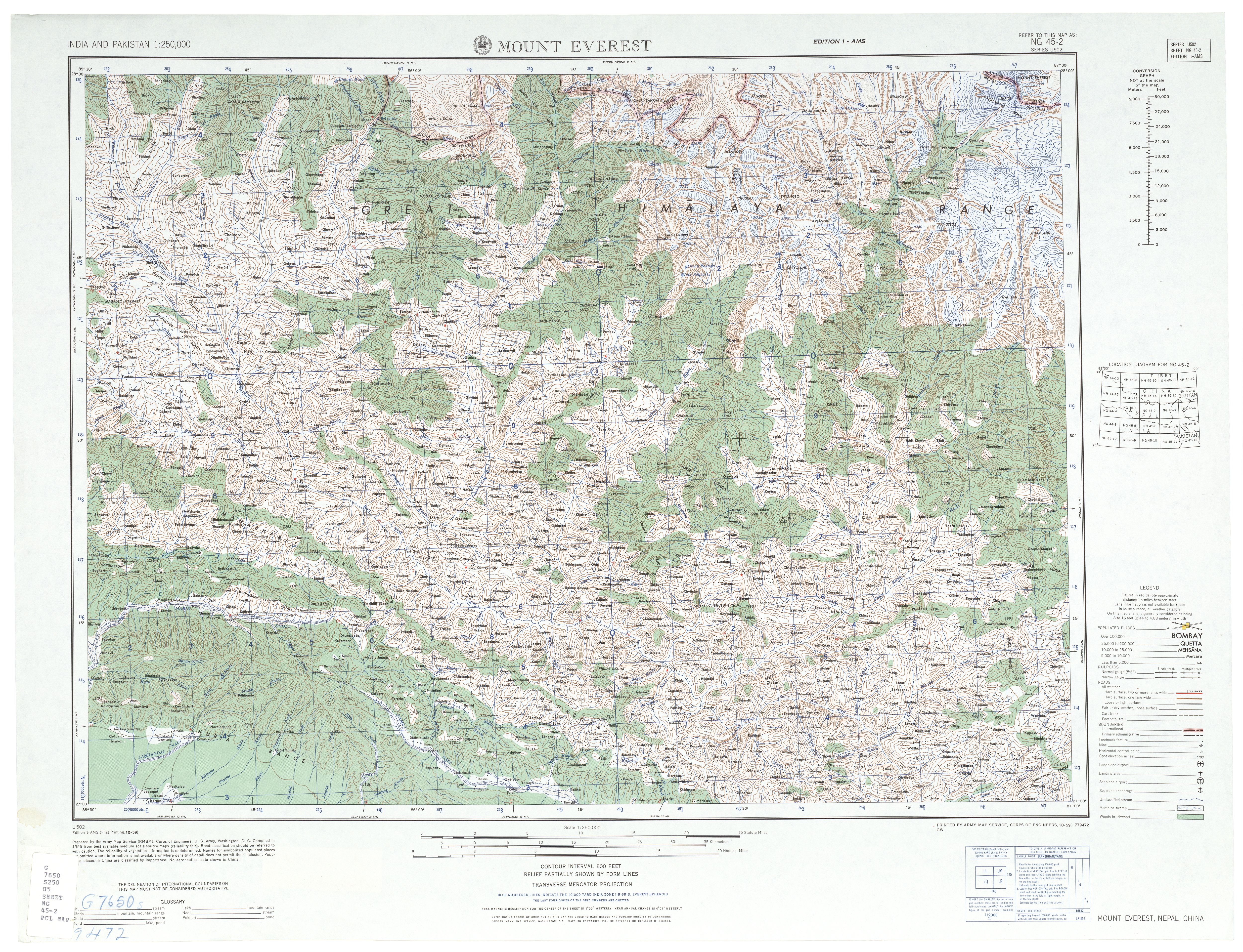
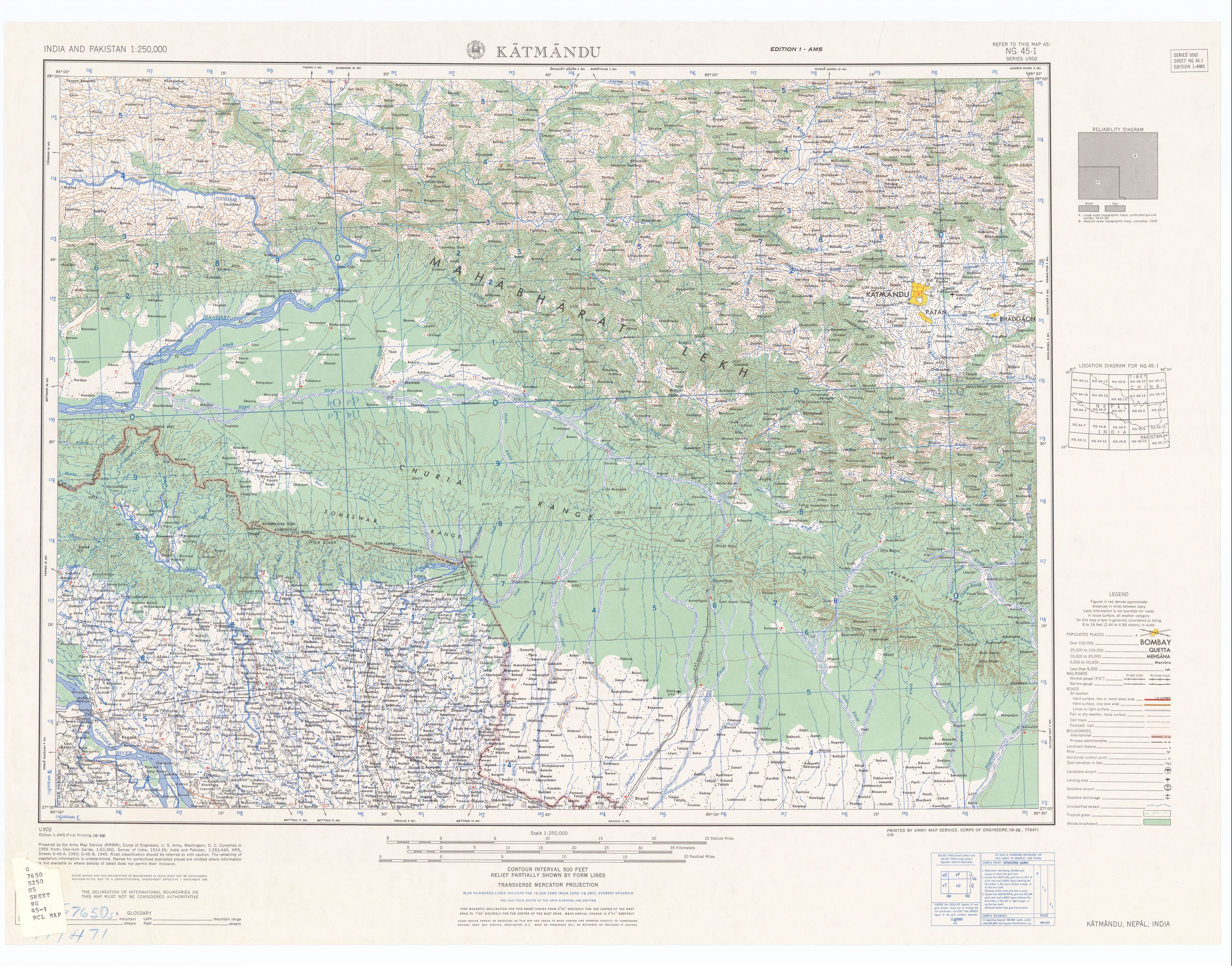
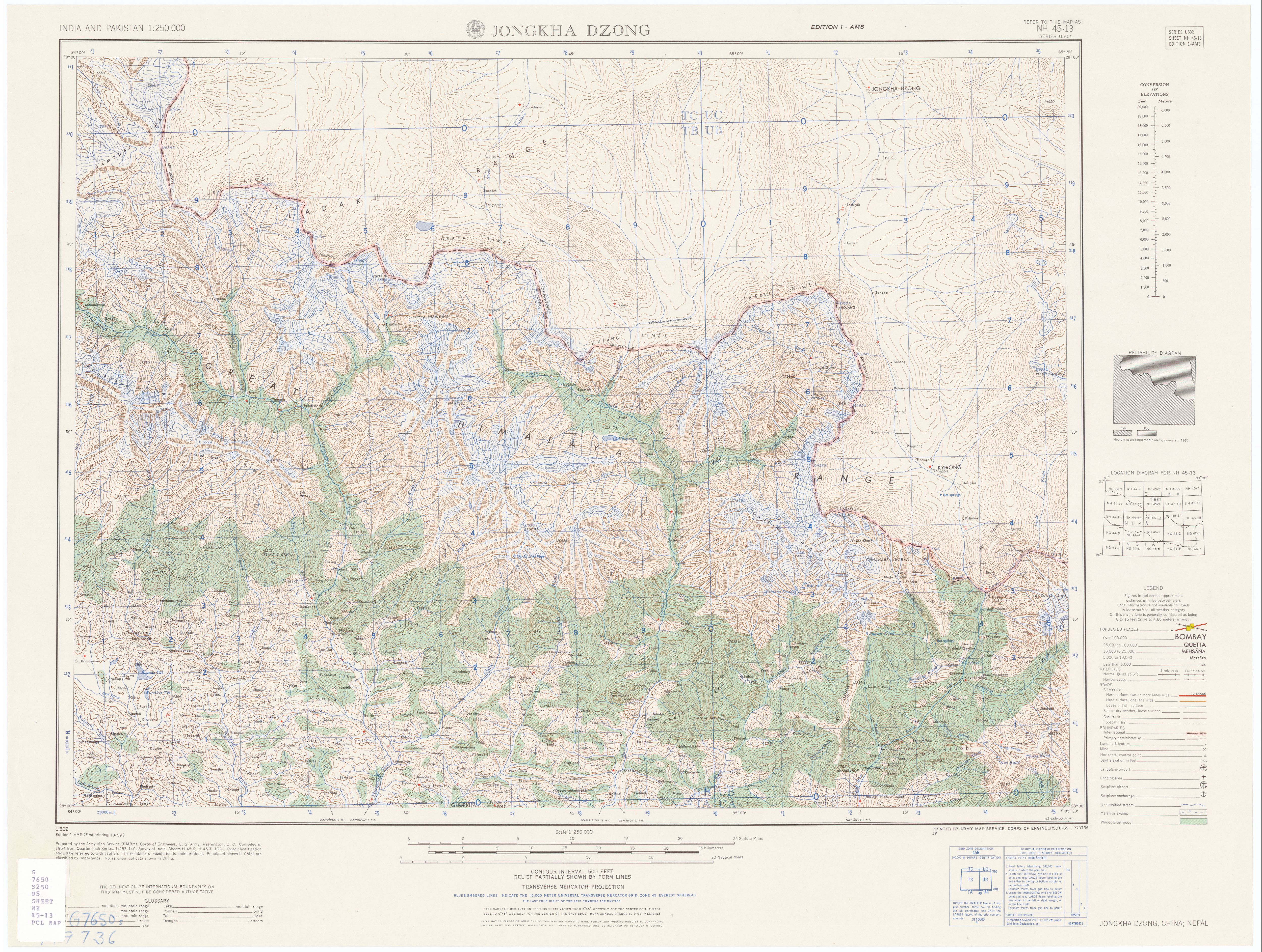
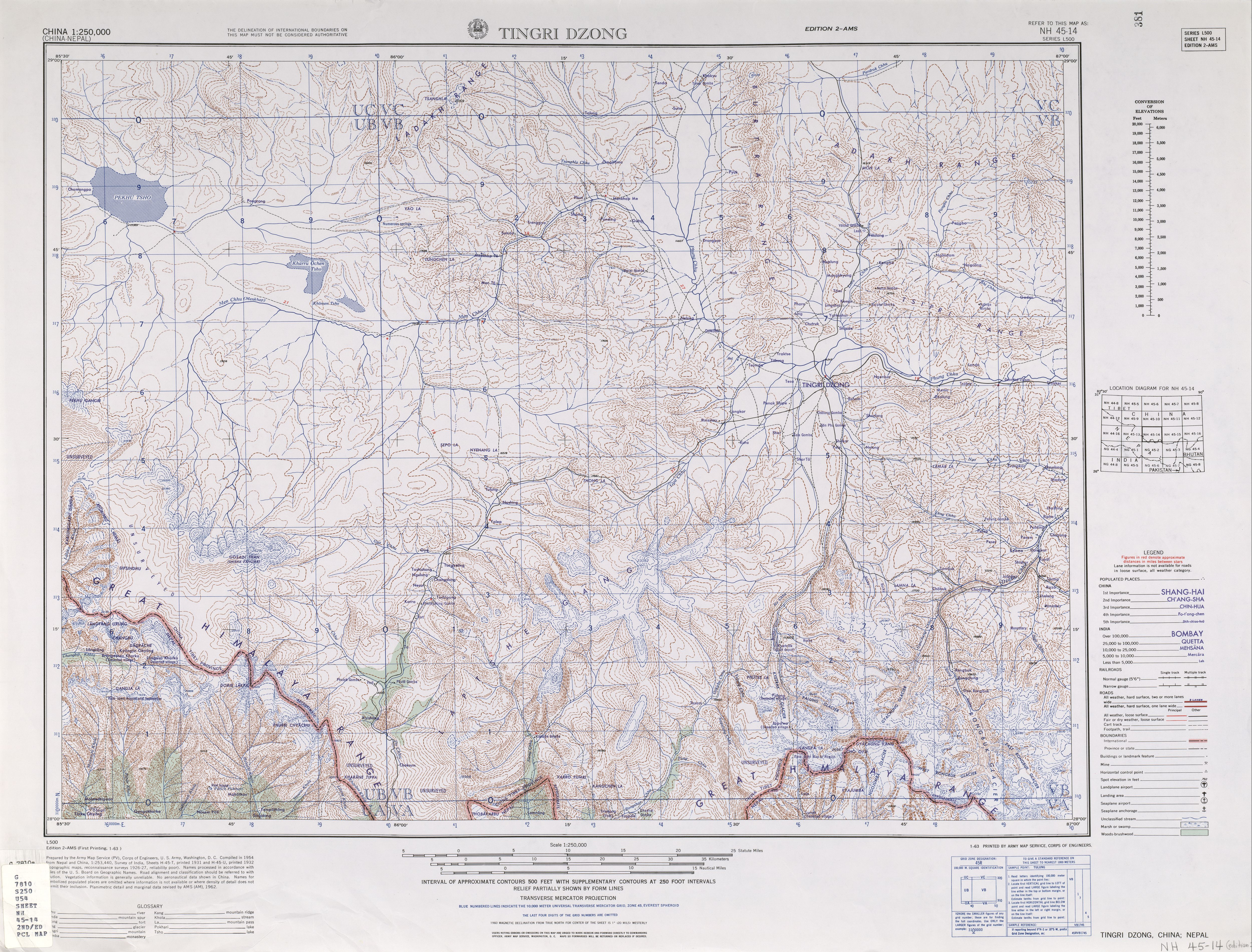
Tiles of the Map India and Pakistan 1:250,000. Series U502, U.S. Army Map Service, 1955 (1954 Series L500 China).
Cropping and annotation by uploader, own work.
The red line shows the road existing in 1963 and the black line is the route taken by the 1963 American Mount Everest expedition as described in Ullman, James Ramsey (1964) Americans on Everest; the official account of the ascent led by Norman G. Dyhrenfurth, Philadelphia: Lippincott .http://www.lib.utexas.edu/maps/ams/india/ng-45-02.jpg http://www.lib.utexas.edu/maps/ams/india/ng-45-01.jpg http://www.lib.utexas.edu/maps/ams/india/nh-45-13.jpg
http://www.lib.utexas.edu/maps/ams/china/txu-oclc-10552568-nh45-14.jpg


