File:2010 Medicine Hat Electoral Districts.jpg
Click on a date/time to view the file as it appeared at that time.
| Date/Time | Thumbnail | Dimensions | User | Comment | |
|---|---|---|---|---|---|
| current | 04:20, 21 February 2012 | 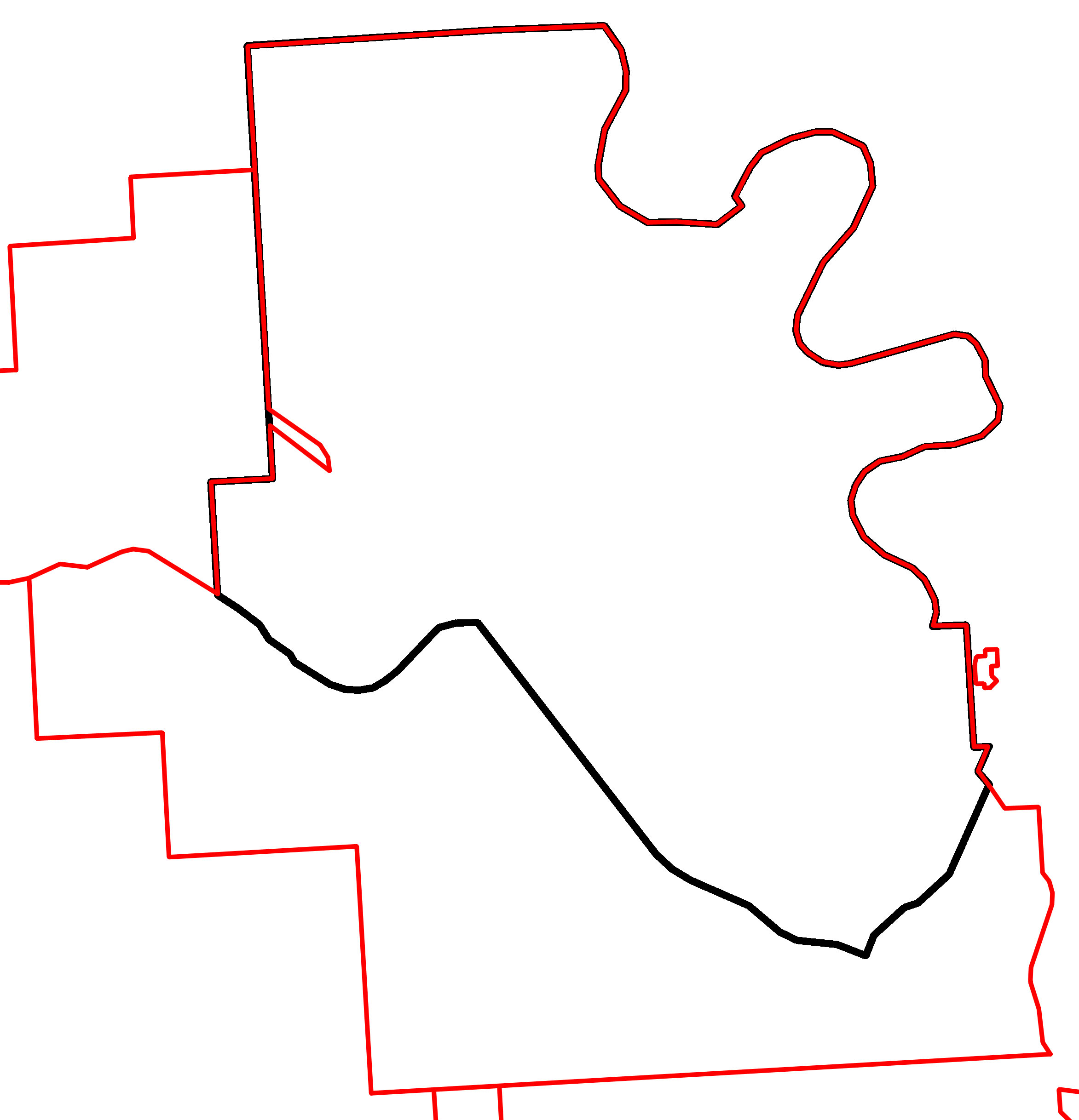 | 2,345 × 2,436 (347 KB) | 117Avenue | {{Information |Description ={{en|1=A map of Alberta provincial electoral districts, effective 2010, in black, overlaid with the boundaries of the Cypress County, [ |
File usage
The following 2 pages use this file: