Loading
  • 21 Aug, 2019

  • By, Wikipedia

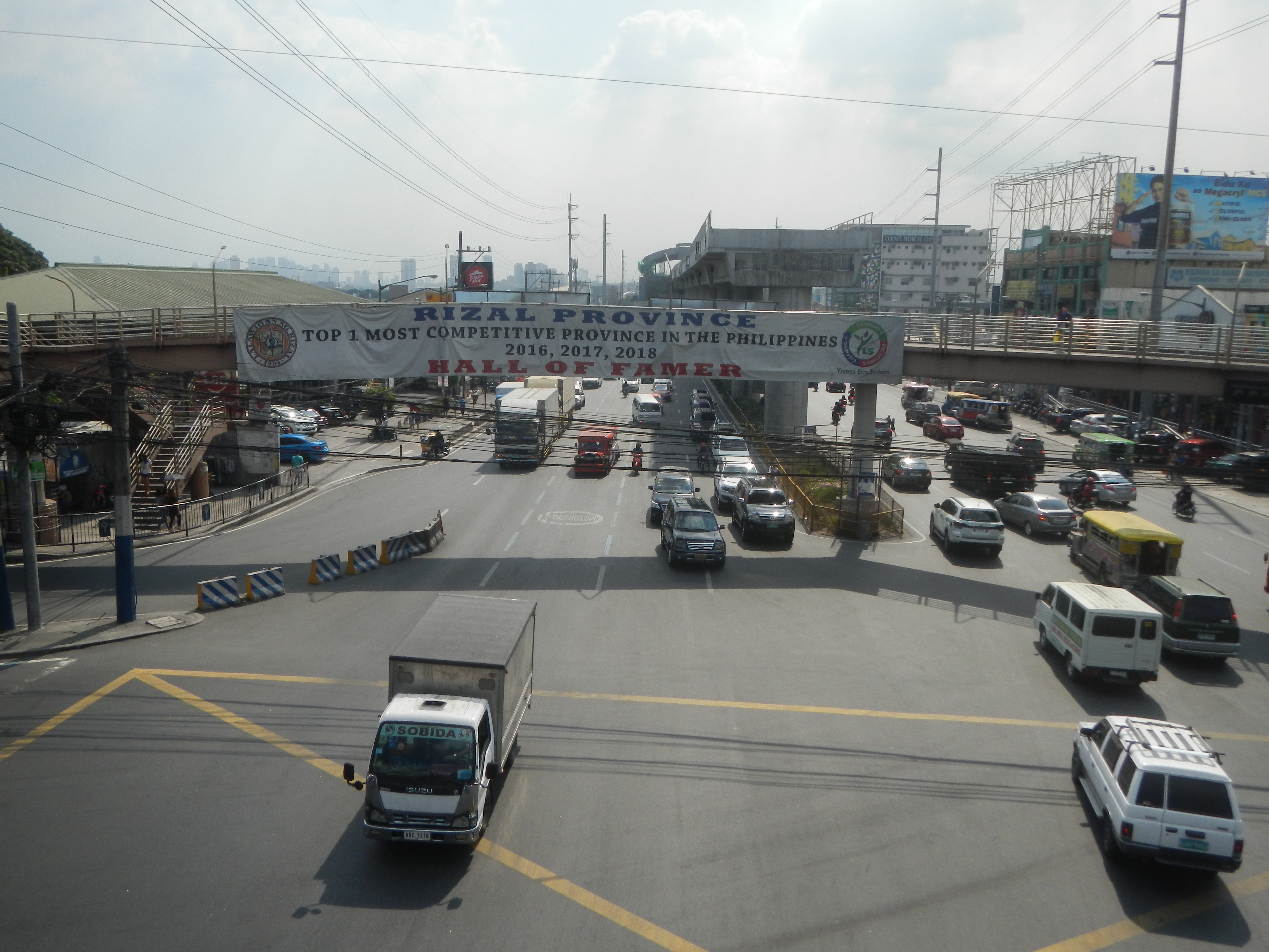
File:5392Masinag Marcos Sumulong Highway 27.jpg

Mayamot 14°37'25"N 121°7'20"E

Licensing

I, the copyright holder of this work, hereby publish it under the following license:
Creative Commons CC-Zero This file is made available under the Creative Commons CC0 1.0 Universal Public Domain Dedication.
The person who associated a work with this deed has dedicated the work to the public domain by waiving all of their rights to the work worldwide under copyright law, including all related and neighboring rights, to the extent allowed by law. You can copy, modify, distribute and perform the work, even for commercial purposes, all without asking permission.

Captions

Masinag (Mayamot) junction - pedestrian footbridge (Marcos Highway-Sumulong Highway)

Items portrayed in this file

depicts

26 April 2019

14°37'25.000"N, 121°7'19.999"E

heading: 123.2 degree

image/jpeg

9d0bcb14e69ffce769f8aff15a01034e2c57b29f

6,608,966 byte

3,456 pixel

4,608 pixel

File history

Click on a date/time to view the file as it appeared at that time.

Date/TimeThumbnailDimensionsUserComment
current06:25, 29 April 2019Thumbnail for version as of 06:25, 29 April 20194,608 × 3,456 (6.3 MB)JudgefloroUser created page with UploadWizard
The following pages on the English Wikipedia use this file (pages on other projects are not listed):

Metadata