This file is a work of a sailor or employee of the U.S. Navy, taken or made as part of that person's official duties. As a work of the U.S. federal government, it is in the public domain in the United States.
https://creativecommons.org/publicdomain/mark/1.0/PDMCreative Commons Public Domain Mark 1.0falsefalse
Original upload log
The original description page was here. All following user names refer to en.wikipedia.
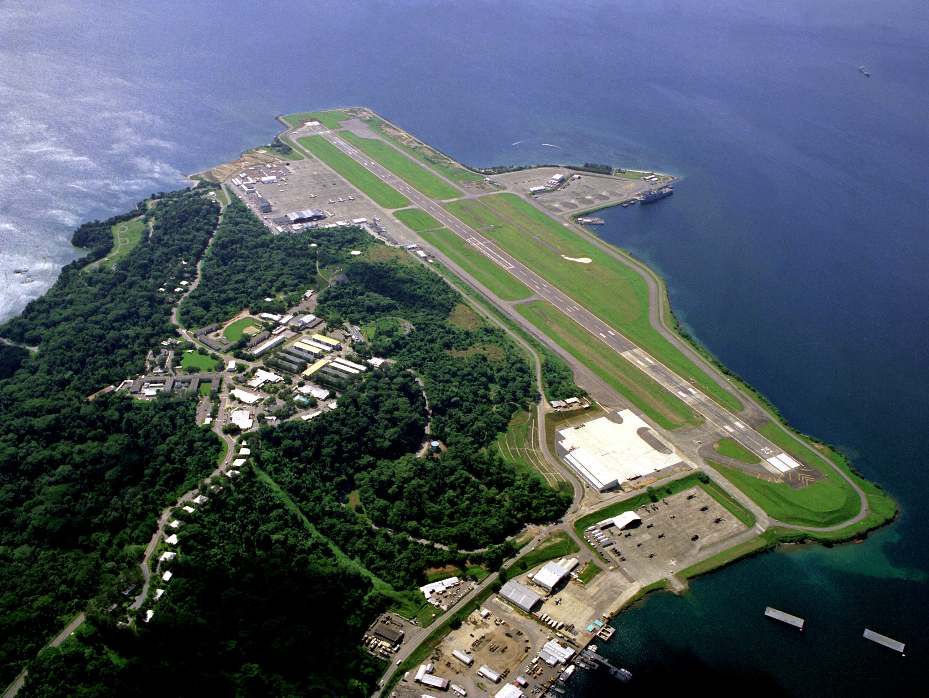
2006-08-25 12:43 SunKing 3000×2252× (2304748 bytes) ID: DNSC9300780 Service Depicted: Navy An aerial view of the runway and flight line. Location: NAVAL AIR STATION, CUBI POINT, LUZON PHILIPPINES (PHL) Camera Operator: PH2(NAC) DAVID SANNER Date Shot: 6 Feb 1988 {{PD-USGov-Military-Navy}}
Captions
Add a one-line explanation of what this file represents
{{BotMoveToCommons|en.wikipedia|year={{subst:CURRENTYEAR}}|month={{subst:CURRENTMONTHNAME}}|day={{subst:CURRENTDAY}}}} {{Information |Description={{en|ID: DNSC9300780 Service Depicted: Navy An aerial view of the runway and flight line. Location: NAVA
File usage
The following pages on the English Wikipedia use this file (pages on other projects are not listed):

.jpg¶ms=014.794880_N_0120.272230_E_globe:Earth_type:camera__&language=en)
.jpg)