File:Aj-map.png

Derivative works
Derivative works of this file: Mapa de Azerbaiyán.png
| Annotations | This image is annotated: View the annotations at Commons |
Derivative works of this file: Mapa de Azerbaiyán.png
| Annotations | This image is annotated: View the annotations at Commons |
Click on a date/time to view the file as it appeared at that time.
| Date/Time | Thumbnail | Dimensions | User | Comment | |
|---|---|---|---|---|---|
| current | 07:44, 19 February 2022 | 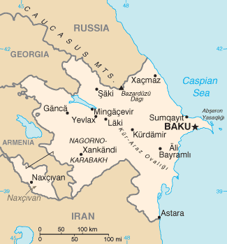 | 325 × 349 (13 KB) | Lojwe | Cropped 1 % horizontally, 1 % vertically using CropTool with precise mode. |
| 12:44, 5 August 2015 |  | 328 × 352 (14 KB) | Ray Garraty | Reverted to version as of 22:26, 26 February 2005 | |
| 12:11, 5 August 2015 |  | 328 × 352 (43 KB) | Szczureq | Added border of Armenian-controlled Nagorno-Karabakh territory | |
| 22:26, 26 February 2005 |  | 328 × 352 (14 KB) | Alfio | Cia map of Azerbaijan |
The following other wikis use this file:
View more global usage of this file.