File:Anadolu Beylikleri.png
source: http://tr.wikipedia.org/key/Resim:2.D%C3%B6nem_Anadolu_Beylikleri.png
| Description |
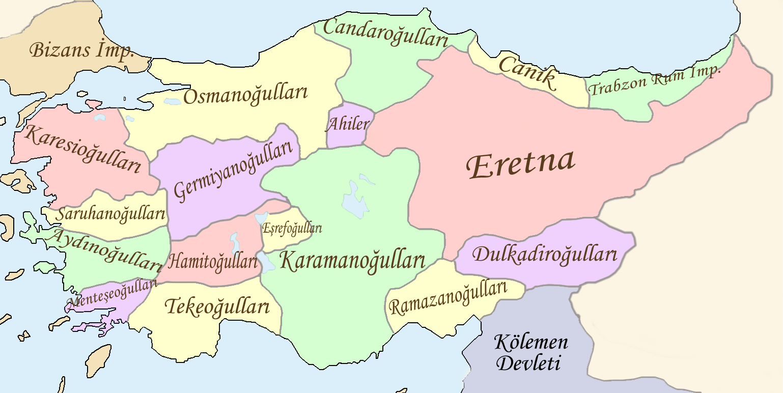
Türkçe: 13. ve 15. yüzyıllar arasında farklı zamanlarda farklı noktalarda var olan Anadolu beyliklerinin anakronistik haritası. Aşağıda belirtilen atlaslardan üretilmiştir. English: Anachronistic map of the anatolian beyliks that have existed at different points in time between the 13th and 15th centuries. |
| Date | |
| Source | 1-Koza Yayınları Tarih Atlası sf.42 2-Kanaat Yayınları Tarih Atlası sf.28 3-[1] |
| Author | Lord Leatherface |
| Other versions |
|


|
File:Beylicats d’Anatolie vers 1330-tr.svg is a vector version of this file. It should be used in place of this PNG file when not inferior.
File:Anadolu Beylikleri.png → File:Beylicats d’Anatolie vers 1330-tr.svg
For more information, see Help:SVG. |
 |
Lord Leatherface at tr.wikipedia, the copyright holder of this work, hereby publishes it under the following license:

|
Permission is granted to copy, distribute and/or modify this document under the terms of the GNU Free Documentation License, Version 1.2 or any later version published by the Free Software Foundation; with no Invariant Sections, no Front-Cover Texts, and no Back-Cover Texts. A copy of the license is included in the section entitled GNU Free Documentation License. |
| This file is licensed under the Creative Commons Attribution-Share Alike 3.0 Unported license. | ||
| Attribution: Lord Leatherface at tr.wikipedia | ||
| ||
| This licensing tag was added to this file as part of the GFDL licensing update. |
Original uploader was Lord Leatherface at tr.wikipedia Later version(s) were uploaded by Gökhan at tr.wikipedia. |Permission=Released under the
23 march 2008
![[1]](https://de.wikipedia.org/key/Bild:Beylik.jpg)