File:Anchorage Alaska Aerial View.jpg
Image File: Cepoa-48.Jpg
Subjects: Construction,Dredge/Dredging
Mission Area: Civil Construction
Date: 20FEB1999
Division: Pacific Ocean Division
District: Alaska District
Location/State: Alaska
Photographer: Unknown
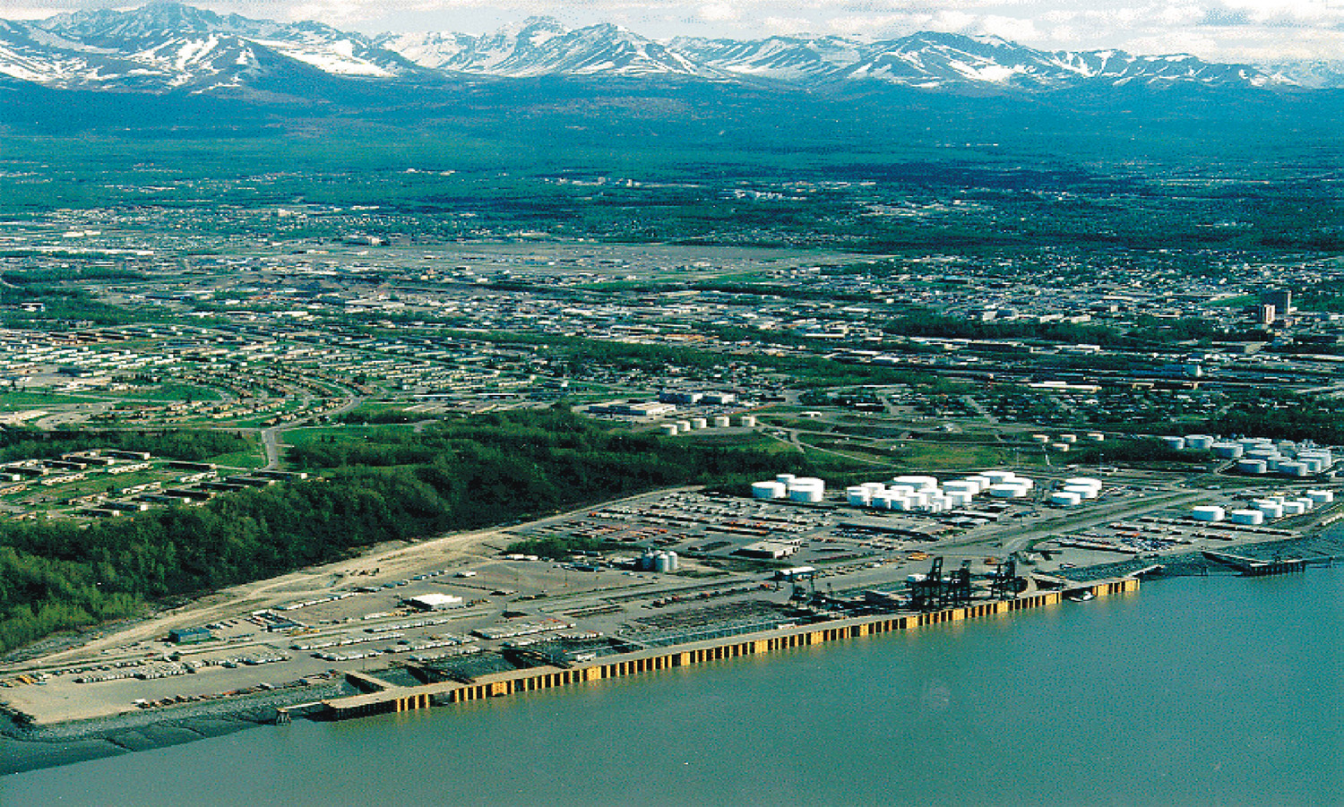
General Info: Aerial of Port of Anchorage, Cook Inlet, Knik Shoals, Anchorage, Alaska.
Location Anchorage, Alaska, USA
61°14′24″N 149°53′20.4″W / 61.24°N 149.889°W
Date
Source
U.S. Army Corps of Engineers Digital Visual Library
Image page (Archived: http://web.archive.org/web/20041108001343/images.usace.army.mil/images/Hires/Cepoa-48.Jpg)
Image description page (Archived: http://web.archive.org/web/20041107103829/images.usace.army.mil/scripts/PortWeb.dll?query&field=Image%20name&opt=matches&value=Cepoa-48.Jpg&template=Selected_Info&catalog=photoDVL)
Digital Visual Library home page
Author
U.S. Army Corps of Engineers, photographer not specified or unknown
Permission
(Reusing this file)
Subjects: Construction,Dredge/Dredging
Mission Area: Civil Construction
Date: 20FEB1999
Division: Pacific Ocean Division
District: Alaska District
Location/State: Alaska
Photographer: Unknown
General Info: Aerial of Port of Anchorage, Cook Inlet, Knik Shoals, Anchorage, Alaska.
61°14′24″N 149°53′20.4″W / 61.24°N 149.889°W
Image page (Archived: http://web.archive.org/web/20041108001343/images.usace.army.mil/images/Hires/Cepoa-48.Jpg)
Image description page (Archived: http://web.archive.org/web/20041107103829/images.usace.army.mil/scripts/PortWeb.dll?query&field=Image%20name&opt=matches&value=Cepoa-48.Jpg&template=Selected_Info&catalog=photoDVL)
Digital Visual Library home page
(Reusing this file)
This image or file is a work of a U.S. Army Corps of Engineers soldier or employee, taken or made as part of that person's official duties. As a work of the U.S. federal government, the image is in the public domain.
|
| Object location | | View this and other nearby images on: OpenStreetMap |
|---|