File:Angaur State Map-fr.svg
Sources :
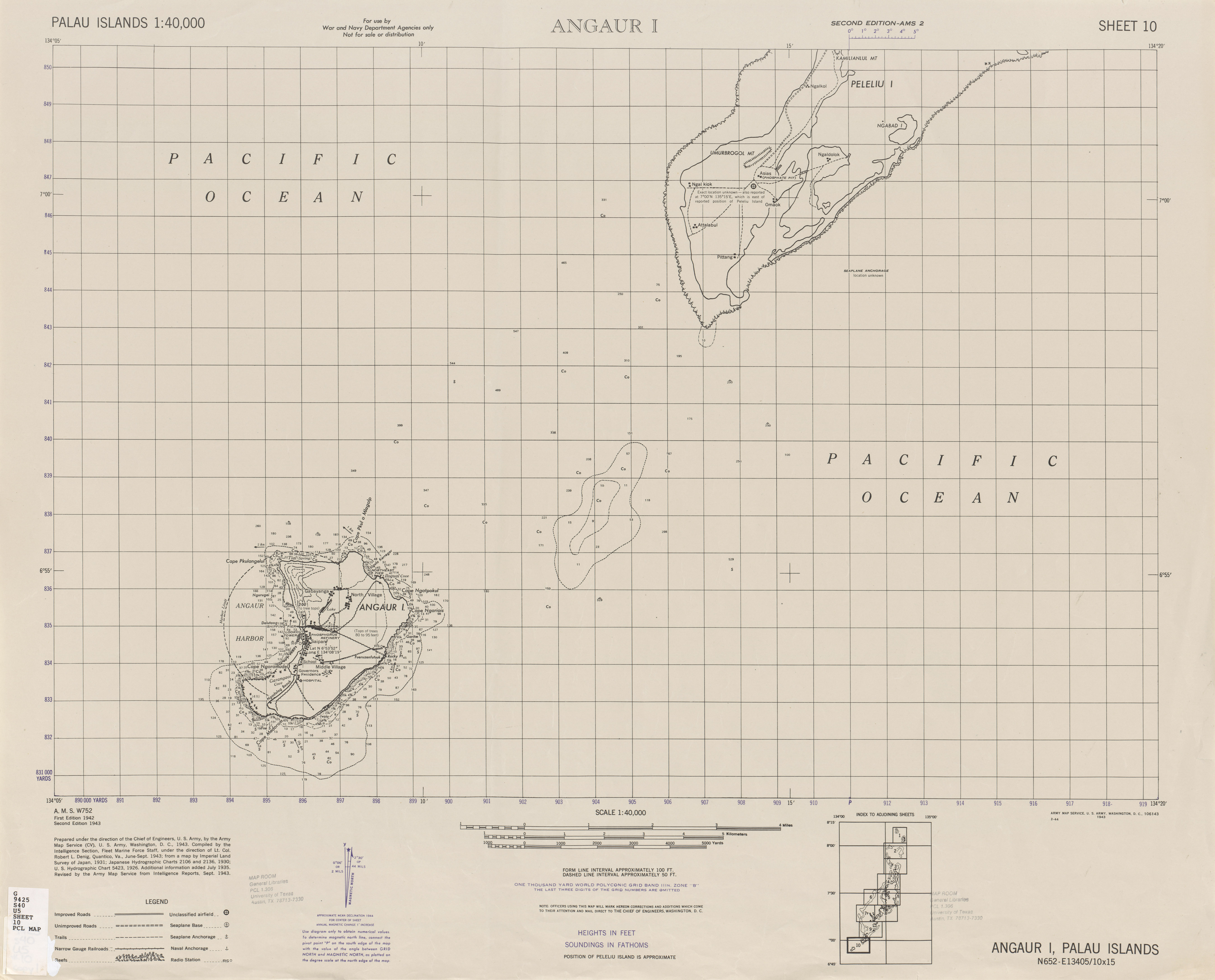
- Angaur map.jpg, issue de la bibliothèque de l’université du Texas.
- Palau-Angaur.png, contour de l’île et précision sur la localisation de certains lacs.
- Battle of Angaur map.jpg, pour les noms alternatifs de certains caps, les principaux lacs nommés (Salome et Aztec) + Rocky Point.
- Battle of Angaur map.jpg, pour les noms de lacs, caps et routes. Indication de certains villages. Topographie différentes du point n° 1 ci-dessus probablement du au fait que l’altitude y est indiquée en feet et que les niveaux pris en compte diffère de l’autre carte, en mètres.
- Carte de l’université du Texas
- Carte du nord-ouest de l’île.
- Carte de l’île faite en 194-1945. Indication sur le nom d’un des anciens villages.
- Carte des fonds marins autour d’Angaur et position du haut-fond des Lukes. Cette carte inclut un certain nombre de toponymes utiles.
