Click on a date/time to view the file as it appeared at that time.
| Date/Time | Thumbnail | Dimensions | User | Comment |
|---|
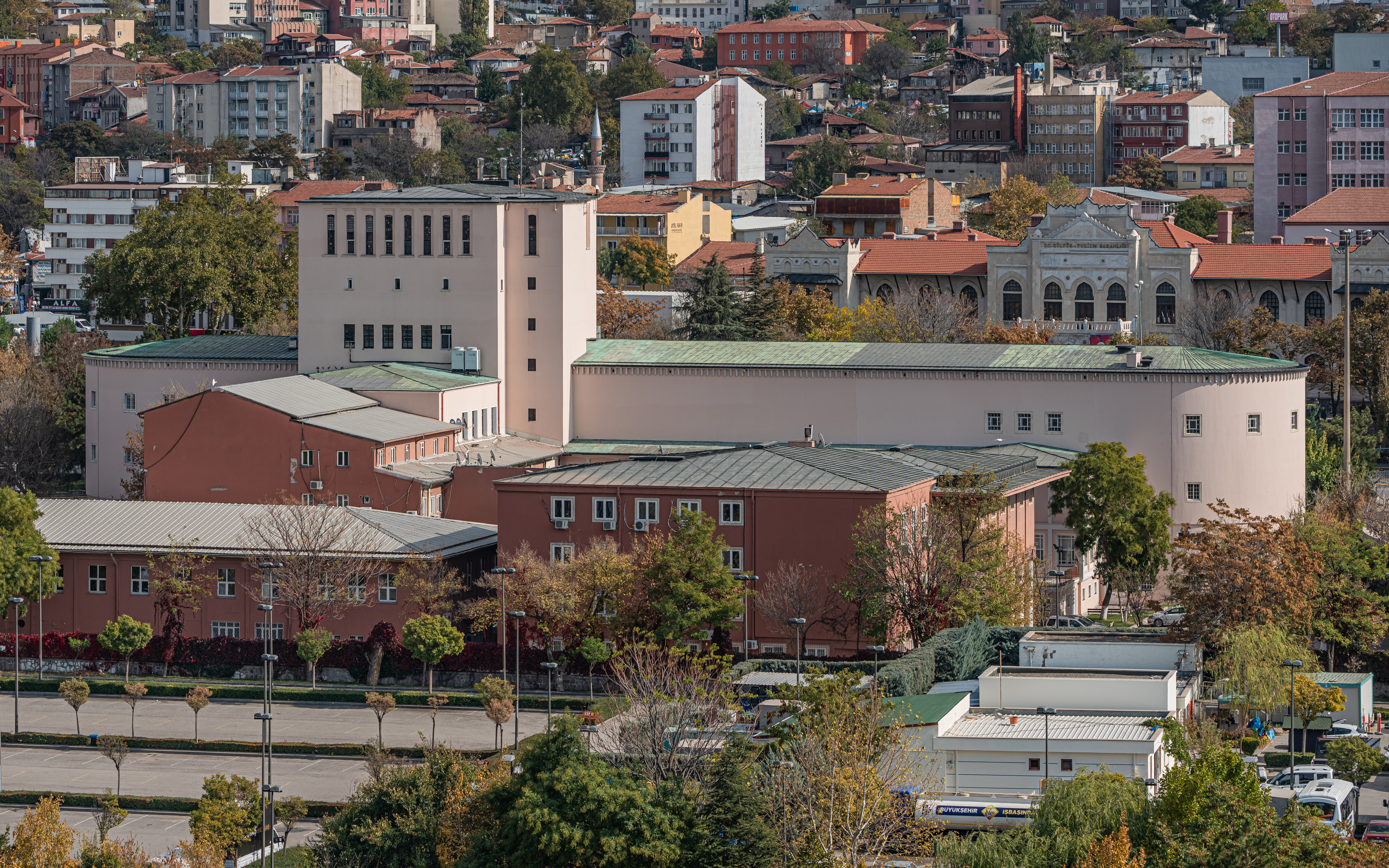
| current | 04:12, 11 February 2022 |  | 7,298 × 4,561 (14.19 MB) | A.Savin | {{User:A.Savin/F|L=0 |Description= {{en|View of Ankara Opera house from the Ferris wheel of Gençlik Park in Ankara, Turkey}} {{ru|Вид на Оперный театр с колеса обозрения на территории Молодёжного парка в Анкаре, Турция}} |Year=2021 |Country=Turkey |Month=10 |Day=29}} {{Location}} {{Object location}} Category:Taken with Sony ILCE-7RM3 Category:Taken with Sony FE 100-400mm F4.5-5.6 GM OSS Category:2021 in Ankara Category:Ankara Opera House Category:Views from Ferris wheels... |
The following pages on the English Wikipedia use this file (pages on other projects are not listed):
The following other wikis use this file:
- Usage on de.wikipedia.org
This file contains additional information, probably added from the digital camera or scanner used to create or digitize it.
If the file has been modified from its original state, some details may not fully reflect the modified file.