File:Annotated Map Of The Civil Parish Of Ballyvourney By Townland.png
Click on a date/time to view the file as it appeared at that time.
| Date/Time | Thumbnail | Dimensions | User | Comment | |
|---|---|---|---|---|---|
| current | 19:38, 4 January 2024 | 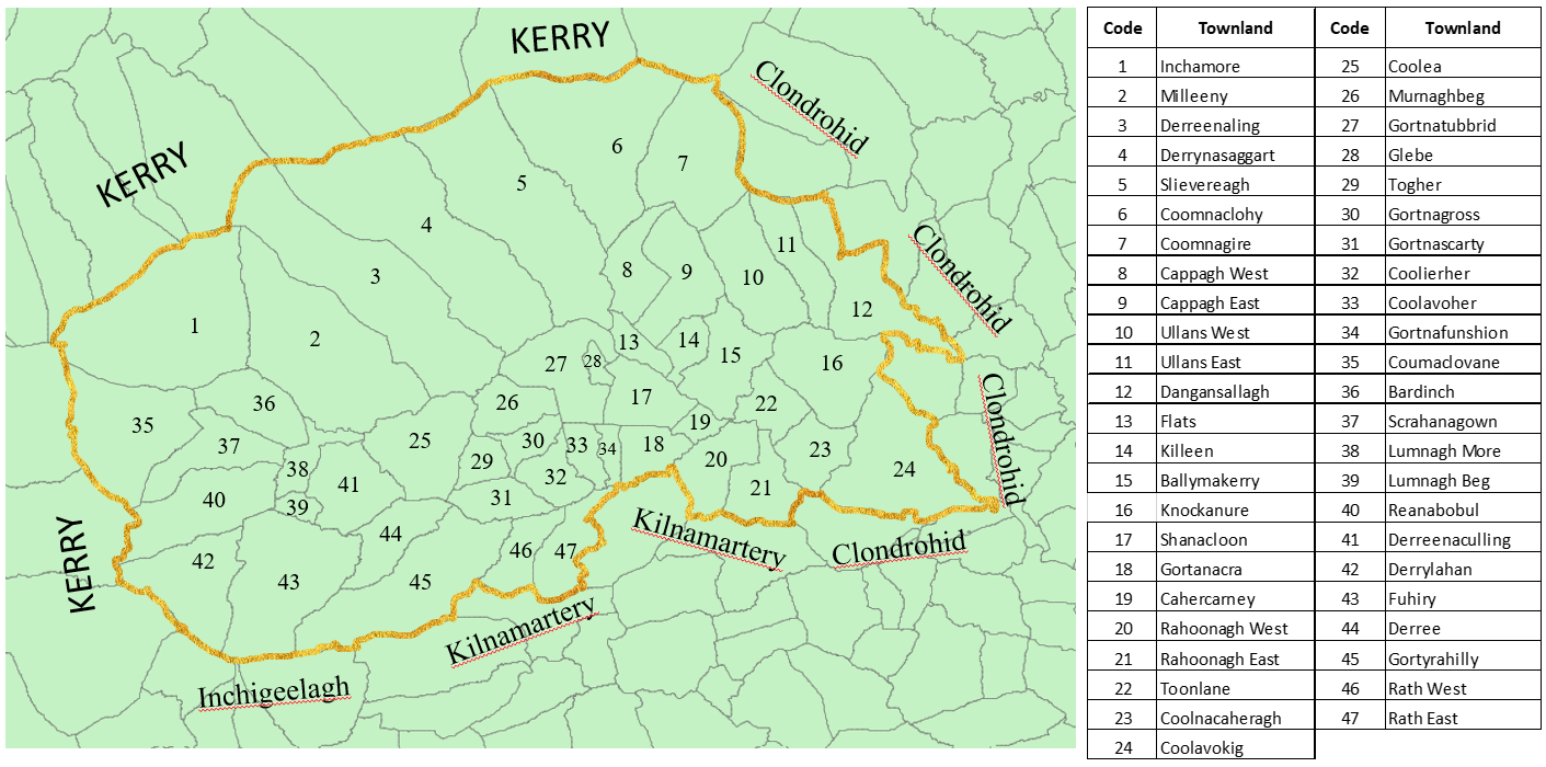 | 1,411 × 700 (395 KB) | FLBarry | Uploaded own work with UploadWizard |
File usage
The following pages on the English Wikipedia use this file (pages on other projects are not listed):