File:Antalya Districts.png
This image was intentionally uploaded with a border. Please do not remove the border. Upload a new version under a different filename without a border if you want a version without a border.
|
This image was intentionally uploaded with a border. Please do not remove the border. Upload a new version under a different filename without a border if you want a version without a border.
|
Click on a date/time to view the file as it appeared at that time.
| Date/Time | Thumbnail | Dimensions | User | Comment | |
|---|---|---|---|---|---|
| current | 23:24, 18 February 2018 | 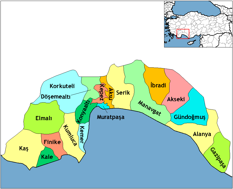 | 954 × 777 (46 KB) | Effeietsanders | Removed border by cropping 10 % horizontally and 5 % vertically using CropTool with precise mode. |
| 19:18, 1 January 2009 |  | 1,056 × 816 (67 KB) | Onur | {{Information |Description= |Source= |Date= |Author= |Permission= |other_versions= }} | |
| 20:43, 28 December 2008 |  | 1,056 × 816 (39 KB) | One Homo Sapiens | Corrected text where İ,Ş,ı,ğ,or ş occurs in name. Source: [statoids-com]. Increased font size and enhanced color differences among adjacent districts. | |
| 16:59, 1 December 2006 |  | 1,056 × 816 (32 KB) | Rarelibra | Map of the districts of Antalya province in Turkey. Created by ~~~~ for public domain use, using MapInfo Professional v8.5 and various mapping resources. |
The following other wikis use this file:
View more global usage of this file.