File:AntrimShape.png
Transferred from en.wikipedia to Commons by Quadell using CommonsHelper.
The original description page was here. All following user names refer to en.wikipedia.
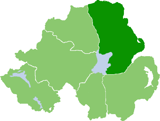
- 2008-07-07 07:55 Grutness 532×405× (10561 bytes) {{Information |Description=Outline map of County Antrim, Northern Ireland |Source=own work, based on NIShape.gif |Date=7/7/08 |Author=[[User:Grutness]], based on work of [[User:Mal]] |Permission=PD-self |other_versions= }}
Original upload log
| Date/Time | Dimensions | User | Comment |
|---|---|---|---|
| 25 July 2013, 15:29:41 | 532 × 405 (10561 bytes) | File Upload Bot (Magnus Manske) (talk · contribs) | Transfered from en.wikipedia by [[User:Quadell]] using CommonsHelper |