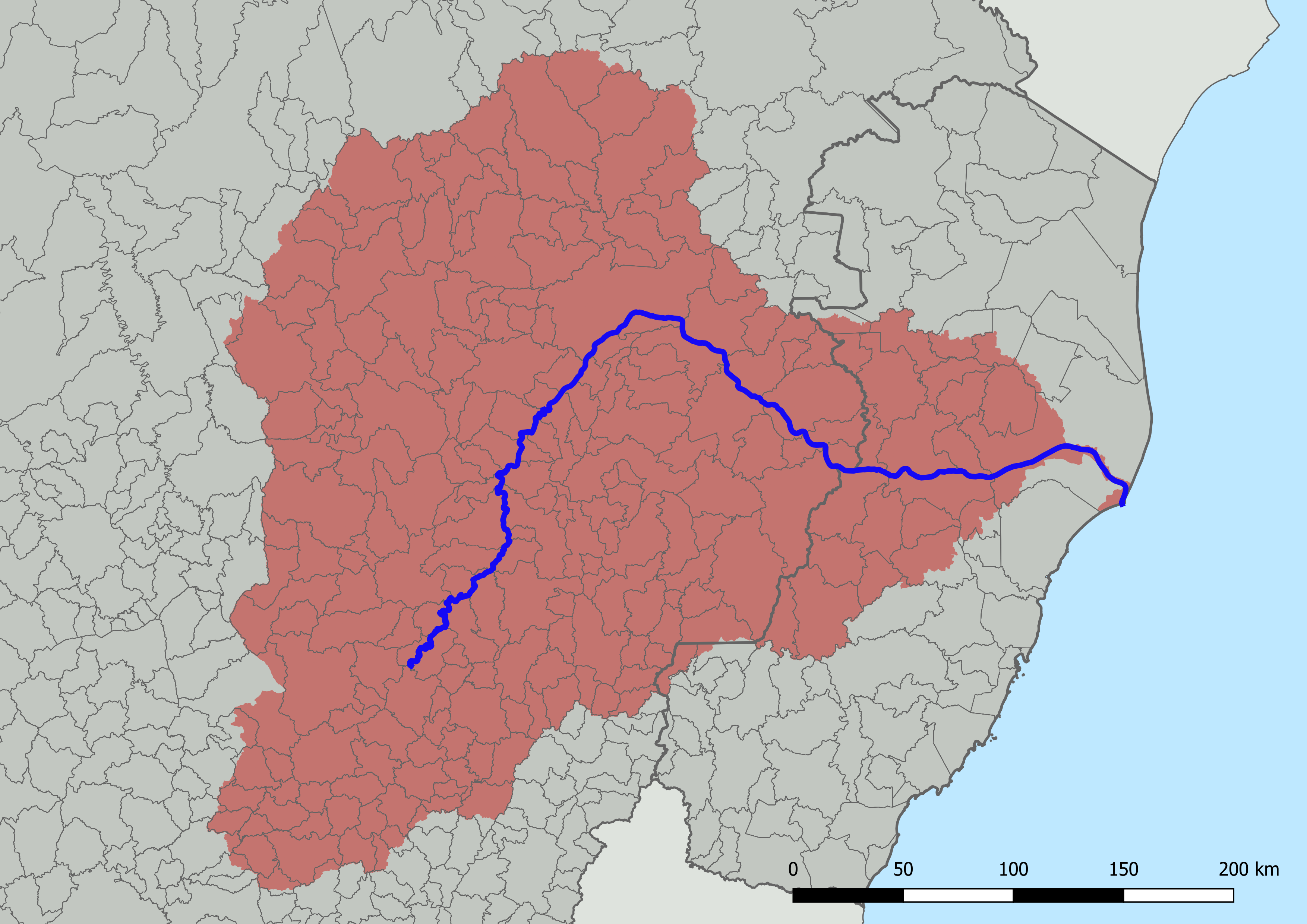
File:Bacia Do Rio Doce Com Municípios.png
Own work; based on GIS data:
Author
HVL
- Instituto Pristino. Sistema WebGis de livre acesso ao banco de dados ambiental (in portuguese). Available in:<https://institutopristino.org.br/atlas/municipios-de-minas-gerais/>. Access on: July 17, 2022. Credits as required for derivative productions.
- Sistema Integrado de Bases Geoespaciais do Estado do Espírito Santo (GEOBASES) Downloads (in portuguese). Available in:<https://geobases.es.gov.br/downloads>. Access on: July 17, 2022.
Licensing
I, the copyright holder of this work, hereby publish it under the following license:
This file is licensed under the Creative Commons Attribution 4.0 International license.
- You are free:
- to share – to copy, distribute and transmit the work
- to remix – to adapt the work
- Under the following conditions:
- attribution – You must give appropriate credit, provide a link to the license, and indicate if changes were made. You may do so in any reasonable manner, but not in any way that suggests the licensor endorses you or your use.