File:Baltimore Osm-mapnik Location Map.png
Geographic limits of the map:
- N: 39.3805°
- S: 39.1953°
- W: -76.7426°
- E: -76.4957°
(Reusing this file)
| This work contains information from OpenStreetMap, which is made available under the Open Database License (ODbL).
The ODbL does not require any particular license for maps produced from ODbL data. Prior to 1 August 2020, map tiles produced by the OpenStreetMap Foundation were licensed under the CC-BY-SA-2.0 license. Maps produced by other people may be subject to other licences. |
Click on a date/time to view the file as it appeared at that time.
| Date/Time | Thumbnail | Dimensions | User | Comment | |
|---|---|---|---|---|---|
| current | 21:29, 13 December 2012 | 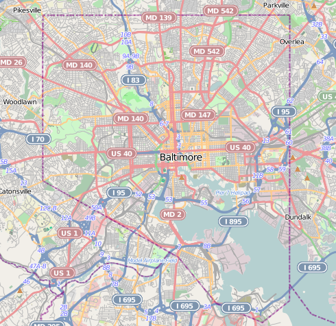 | 490 × 475 (349 KB) | Alexrk2 | {{Information |Description={{en|1=Map of Baltimore Geographic limits of the map: * N: 39.3805° * S: 39.1953° * W: -76.7426° * E: -76.4957° }} |Source=http://www.openstreetmap.org |Author=OpenStreetMap contributors |Date=2012-12 |Permission=Cart... |
More than 100 pages use this file. The following list shows the first 100 pages that use this file only. A full list is available.
View more links to this file.
The following other wikis use this file:
View more global usage of this file.