Loading
  • 21 Aug, 2019

  • By, Wikipedia

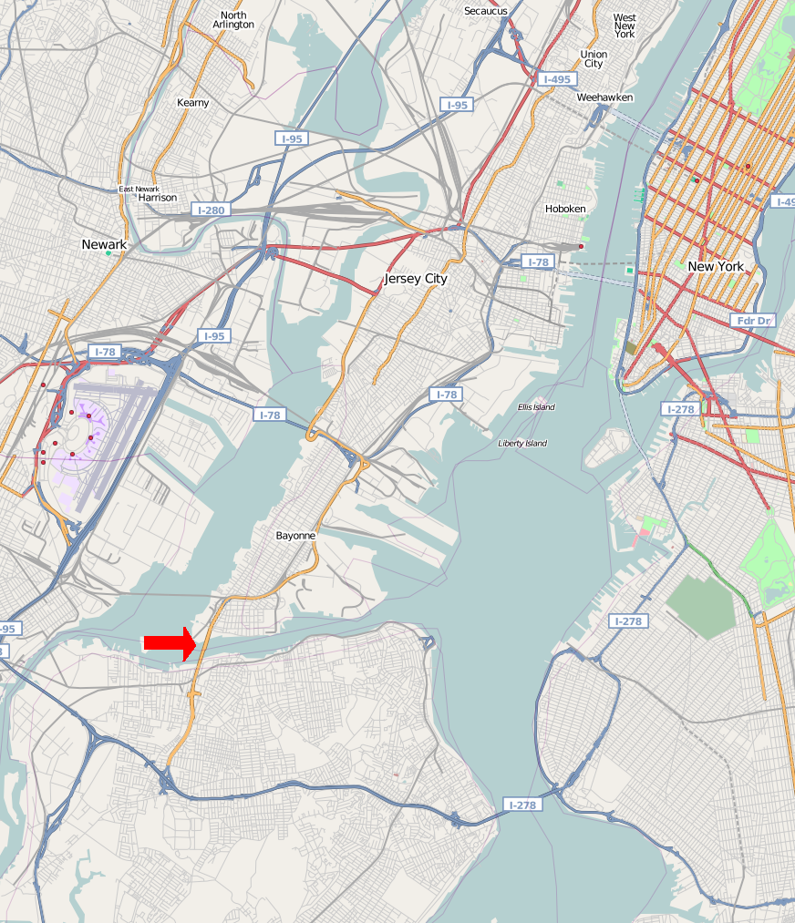
File:Bayon Bridge Map.png


This city map image could be re-created using vector graphics as an SVG file. This has several advantages; see Commons:Media for cleanup for more information. If an SVG form of this image is available, please upload it and afterwards replace this template with {{vector version available|new image name}}.


It is recommended to name the SVG file “Bayon Bridge Map.svg”—then the template Vector version available (or Vva) does not need the new image name parameter.


Captions

Add a one-line explanation of what this file represents

Items portrayed in this file

depicts

image/png

d9c0767e7ed1802c9012c7203c069536ba374f18

944,690 byte

1,013 pixel

872 pixel

File history

Click on a date/time to view the file as it appeared at that time.

Date/TimeThumbnailDimensionsUserComment
current14:50, 14 August 2008Thumbnail for version as of 14:50, 14 August 2008872 × 1,013 (923 KB)Natl1{{OpenStreetMap |source=http://www.openstreetmap.org/?lat=40.68545&lon=-74.08330000000001&zoom=11&layers=B00FTFT |location=the Bayonne Bridge and Surrounding Area }} <!--{{ImageUpload|basic}}-->

The following page uses this file:

Global file usage

The following other wikis use this file: