File:Bedfordshire Outline Map With UK (2009).png
Click on a date/time to view the file as it appeared at that time.
| Date/Time | Thumbnail | Dimensions | User | Comment | |
|---|---|---|---|---|---|
| current | 20:40, 19 December 2008 | 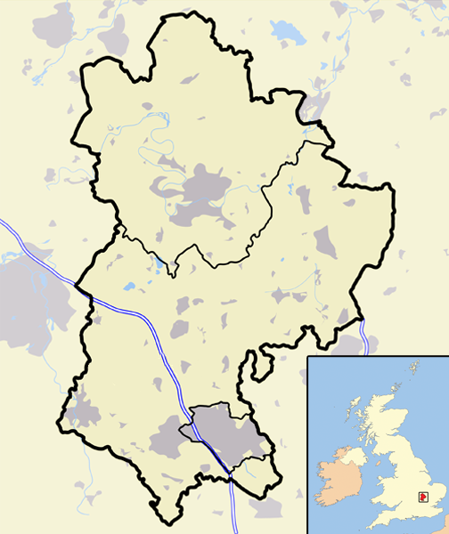 | 504 × 600 (190 KB) | Jza84 | == Summary == {{Information |Description=A map of the county of Bedfordshire, England, United Kingdom, showing the post-2009 district boundaries. |Source=self-made |Date=December 2008 |Author= Jhamez84 |Permission=See below |other_versio |
File usage
The following pages on the English Wikipedia use this file (pages on other projects are not listed):
- 2009 structural changes to local government in England
- Alnwick District
- Blyth Valley
- Borough of Berwick-upon-Tweed
- Borough of Oswestry
- Bridgnorth District
- Caradon
- Carrick, Cornwall
- Castle Morpeth
- Chester-le-Street (district)
- Chester (district)
- City of Durham (district)
- Congleton (borough)
- Cornwall Council
- Crewe and Nantwich
- Derwentside
- Easington District
- Ellesmere Port and Neston
- Kennet District
- Kerrier
- Macclesfield (borough)
- Mid Bedfordshire District
- North Cornwall
- North Shropshire
- North Wiltshire
- Northumberland County Council
- Penwith
- Restormel
- Salisbury District
- Sedgefield (borough)
- Shrewsbury and Atcham
- South Bedfordshire
- South Shropshire
- Teesdale (district)
- Tynedale
- Vale Royal
- Wansbeck District
- Wear Valley
- West Wiltshire
- Wiltshire Council
- User:Coldmachine/Sandbox/Template:2009EnglandNavbox
- User:Squitipedia
- Wikipedia:WikiProject UK geography/2009 local government structural changes task force
- Wikipedia talk:WikiProject UK geography/2009 local government structural changes task force
- File talk:Bedfordshire outline map with UK (2009).png
- Template:Local government districts of England abolished in 2009
.png)
Global file usage
The following other wikis use this file:
- Usage on vi.wikipedia.org
.png)