21 Aug, 2019
By, Wikipedia
File:Belgiewvl.png
Captions
Add a one-line explanation of what this file represents
Click on a date/time to view the file as it appeared at that time.
| Date/Time | Thumbnail | Dimensions | User | Comment | |
|---|---|---|---|---|---|
| current | 20:59, 25 May 2010 | 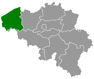 | 398 × 335 (3 KB) | DasRakel | filesize |
| 20:56, 25 May 2010 |  | 398 × 335 (61 KB) | DasRakel | bxl shade | |
| 18:53, 24 May 2006 |  | 398 × 335 (6 KB) | Btrs | {{Information| |Description= Map of Belgium with the 3 regions togheter , with the province of West Flanders colored green. |Source=Wikimedia Commons (Article 'Maps_of_Belgium') |Date=24 May 2006 |Author=User 'Morwen' |Permission=none needed , seen the GN |
The following 69 pages use this file:
The following other wikis use this file:
View more global usage of this file.