Click on a date/time to view the file as it appeared at that time.
| Date/Time | Thumbnail | Dimensions | User | Comment |
|---|
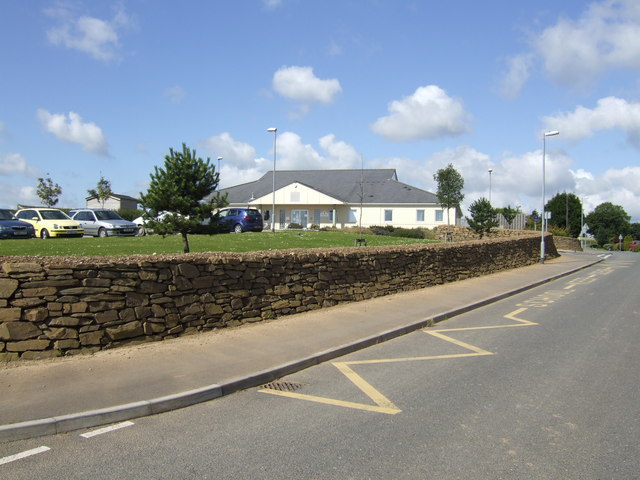
| current | 04:24, 5 February 2011 |  | 640 × 480 (80 KB) | GeographBot | == {{int:filedesc}} == {{Information |description={{en|1=Braddock Primary School, East Taphouse A newly built school (2003) which serves the scattered villages and hamlets between Dobwalls and Lostwithiel.}} |date=2007-07-11 |source=From [http://www.geogr |
The following 2 pages use this file:
The following other wikis use this file:
- Usage on ceb.wikipedia.org
- Usage on cy.wikipedia.org
- Usage on eu.wikipedia.org
- Usage on pl.wikipedia.org
- Usage on sv.wikipedia.org
- Usage on www.wikidata.org
This file contains additional information, probably added from the digital camera or scanner used to create or digitize it.
If the file has been modified from its original state, some details may not fully reflect the modified file.