File:Bridgeport Covered Bridge Nevada County CA.jpg
| Camera location | | View this and other nearby images on: OpenStreetMap |
|---|
| Camera location | | View this and other nearby images on: OpenStreetMap |
|---|
Click on a date/time to view the file as it appeared at that time.
| Date/Time | Thumbnail | Dimensions | User | Comment | |
|---|---|---|---|---|---|
| current | 04:51, 5 May 2007 | 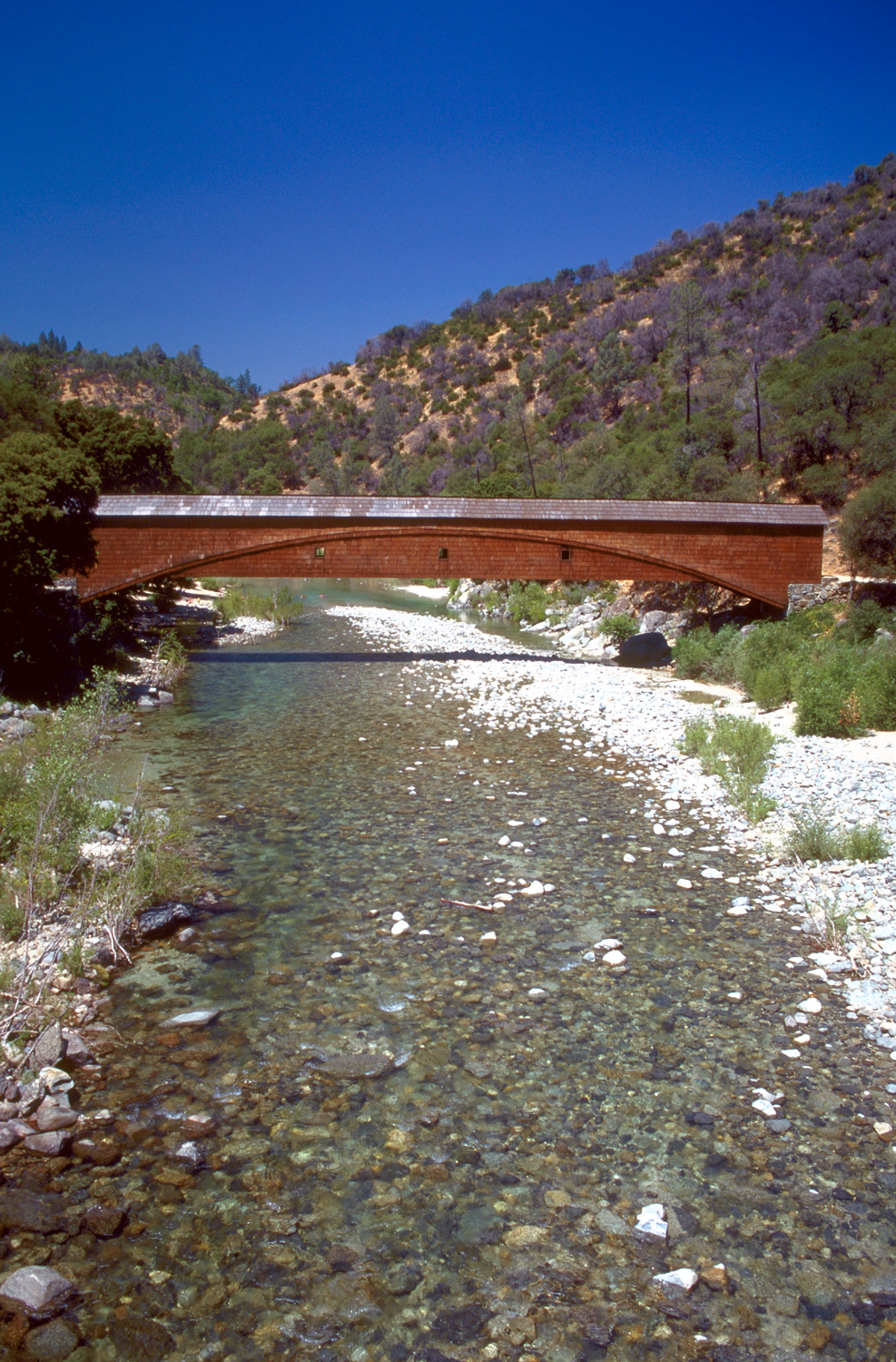 | 987 × 1,500 (626 KB) | DanMS | {{Information | Description = {{en|The Bridgeport covered bridge on the South Fork Yuba River in South Yuba River State Park in Nevada County, California, USA. The bridge here was originally constructed in 1862 and was part of the Virginia Turnpike Com |
The following page uses this file:
The following other wikis use this file: