Click on a date/time to view the file as it appeared at that time.
| Date/Time | Thumbnail | Dimensions | User | Comment |
|---|
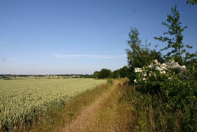
| current | 15:09, 31 January 2010 |  | 640 × 427 (84 KB) | GeographBot | == {{int:filedesc}} == {{Information |description={{en|1=Bridleway to Stanningfield. Looking east from near the Lawshall Road end of this track.}} |date=2006-07-03 |source=From [http://www.geograph.org.uk/photo/195794 geograph.org.uk] |author=[http://www. |
The following page uses this file:
This file contains additional information, probably added from the digital camera or scanner used to create or digitize it.
If the file has been modified from its original state, some details may not fully reflect the modified file.