Loading
  • 21 Aug, 2019

  • By, Wikipedia

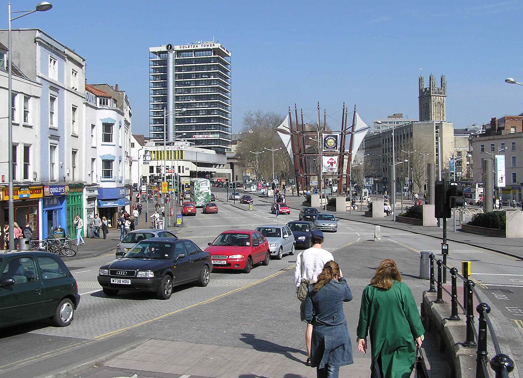
File:Bristol City Centre From Bottom Of Park Street Arp.jpg

In some countries this may not be legally possible; if so:
Arpingstone grants anyone the right to use this work for any purpose, without any conditions, unless such conditions are required by law.

Camera location51° 27′ 08.69″ N, 2° 35′ 53.33″ W  Heading=20° Kartographer map based on OpenStreetMap.View this and other nearby images on: OpenStreetMapinfo

Captions

Add a one-line explanation of what this file represents

Items portrayed in this file

depicts

May 2005

51°27'8.690"N, 2°35'53.329"W

heading: 20 degree

image/jpeg

ec8373bbb4871d6b5785c3d312f3b86c4558369c

2,347,551 byte

1,551 pixel

2,147 pixel

File history

Click on a date/time to view the file as it appeared at that time.

Date/TimeThumbnailDimensionsUserComment
current21:34, 24 January 2008Thumbnail for version as of 21:34, 24 January 20082,147 × 1,551 (2.24 MB)ArpingstoneBristol city centre
The following pages on the English Wikipedia use this file (pages on other projects are not listed):