File:C71188s5 Ant.Map Cape Adare.jpg
Derivative works of this file:
Click on a date/time to view the file as it appeared at that time.
| Date/Time | Thumbnail | Dimensions | User | Comment | |
|---|---|---|---|---|---|
| current | 12:47, 26 November 2015 | 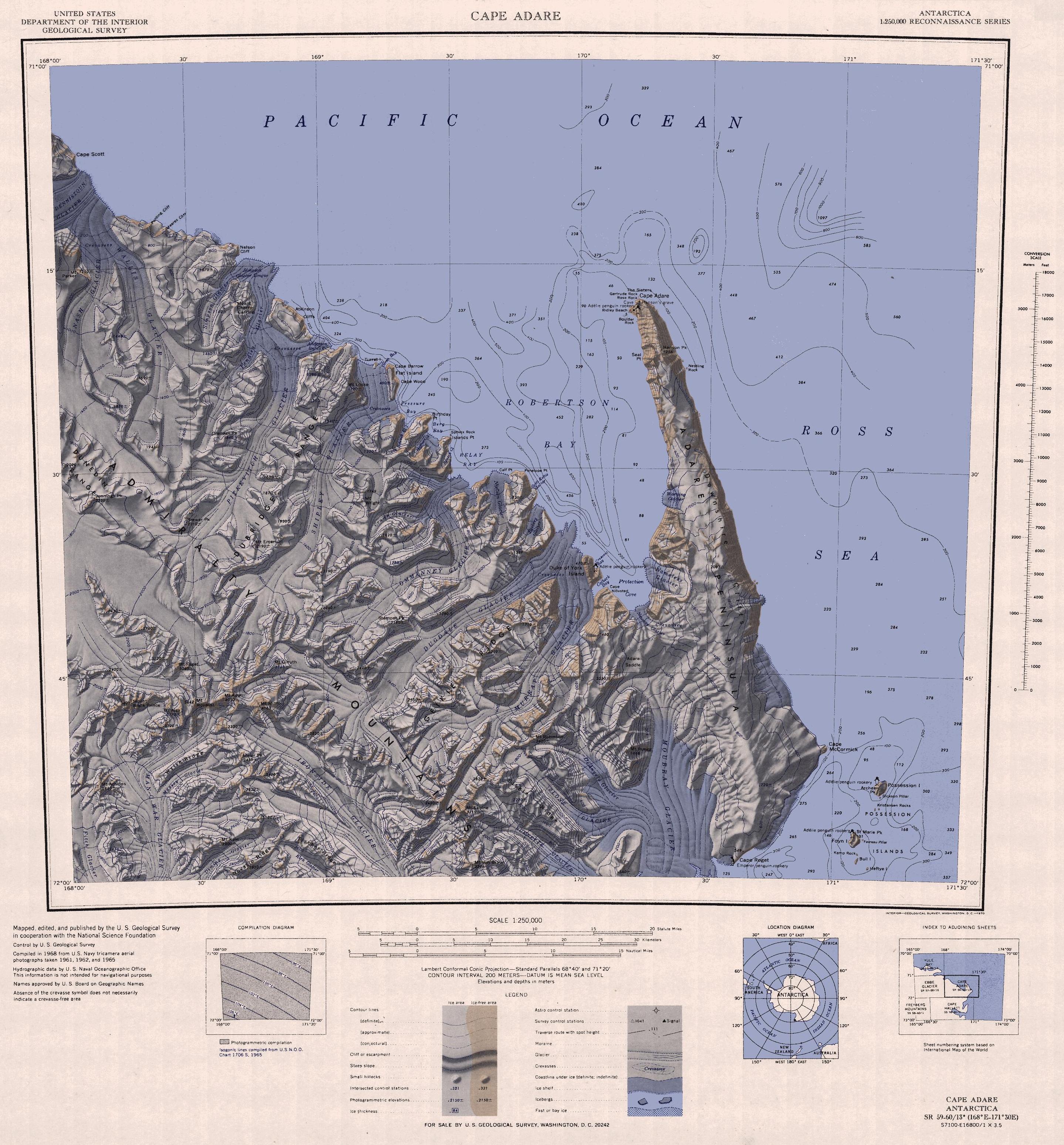 | 2,877 × 3,096 (1.53 MB) | ValeriySh | Обрізка зайвого поля |
| 16:43, 3 April 2005 |  | 3,506 × 3,260 (1.67 MB) | Achim Raschka | Map of Antarctica by the United States Antarctic Ressource Center of the US Geological Society. {{PD-US}} Copyrights and Trademarks USGS-authored or produced data and information are in the public domain. While the content of most USGS web pages is in th |
The following other wikis use this file:
View more global usage of this file.