Loading
  • 21 Aug, 2019

  • By, Wikipedia

File:C76198s1 Ant.Map Convoy Range.jpg

Captions

Add a one-line explanation of what this file represents

Items portrayed in this file

depicts

image/jpeg

e559ec32a709e03d5fb8b146c0217febd3094ce2

1,156,063 byte

3,254 pixel

4,271 pixel

File history

Click on a date/time to view the file as it appeared at that time.

Date/TimeThumbnailDimensionsUserComment
current13:24, 17 April 2013Thumbnail for version as of 13:24, 17 April 20134,271 × 3,254 (1.1 MB)4ing
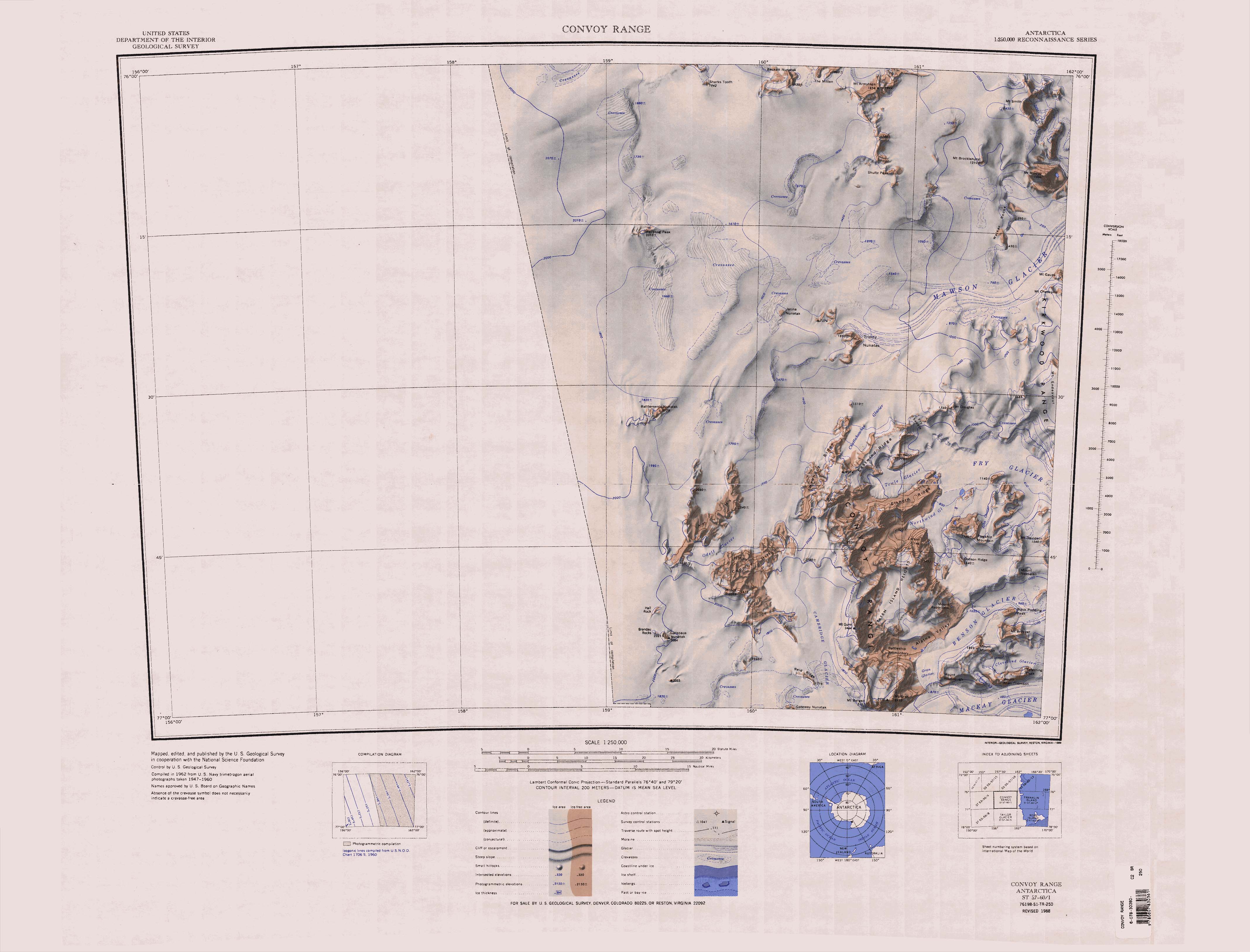
== {{int:filedesc}} == {{Information |description={{en|1=1:250,000-scale topographic reconnaissance map of the Convoy Range area from 156°-162'E to 76°-77°S in Antarctica. Mapped, edited and published by the U.S. Geological Survey in cooperation wit...

Global file usage

Metadata