File:Ca10 109.gif
| Description |
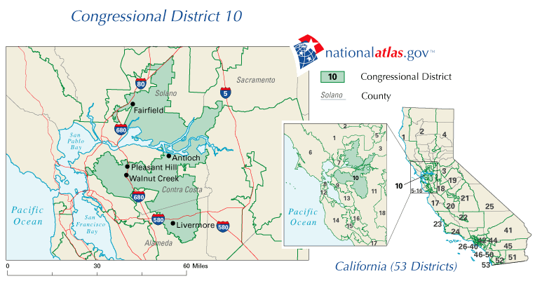
English: Map of en:California's 10th congressional district |
|||
| Date | ||||
| Source | http://nationalatlas.gov/printable/images/preview/congdist/ca10_109.gif | |||
| Author | U.S. Government | |||
| Permission (Reusing this file) |
|
Original upload log
Transferred from en.wikipedia to Commons by DimiCalifornia.
The original description page was here. All following user names refer to en.wikipedia.
Upload date | User | Bytes | Dimensions | Comment
- 2008-04-25 03:00:35 | Socal gal at heart | 47327 | 763×401 | {{Information |Description=California's 10th congressional district |Source=National Atlas |Date=April 24, 2008 |Author=U.S. Government |Permission={{PD-USGov}} |other_versions= }}
Licensing
This map was obtained from an edition of the National Atlas of the United States. Like almost all works of the U.S. federal government, works from the National Atlas are in the public domain in the United States.
Online access: NationalAtlas.gov | 1970 print edition: Library of Congress, Perry-Castañeda Library
|
Original upload log
| Date/Time | Dimensions | User | Comment |
|---|---|---|---|
| 4 December 2011, 17:00:09 | 763 × 401 (47327 bytes) | DimiTalen (talk · contribs) | {{BotMoveToCommons|en.wikipedia|year={{subst:CURRENTYEAR}}|month={{subst:CURRENTMONTHNAME}}|day={{subst:CURRENTDAY}}}} The tool and the bot are operated by [[User:Jan Luca]] and [[User:Magnus Manske]]. {{Information |Description = {{en|Map of [[:en:Calif |