Click on a date/time to view the file as it appeared at that time.
| Date/Time | Thumbnail | Dimensions | User | Comment |
|---|
| current | 18:31, 7 October 2007 |  | 960 × 1,192 (802 KB) | Qyd | fix highway name |
| 19:44, 18 April 2007 |  | 960 × 1,192 (791 KB) | Qyd | spelling |
| 17:28, 18 September 2006 | 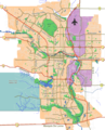 | 960 × 1,192 (792 KB) | Qyd | outline industrial areas |
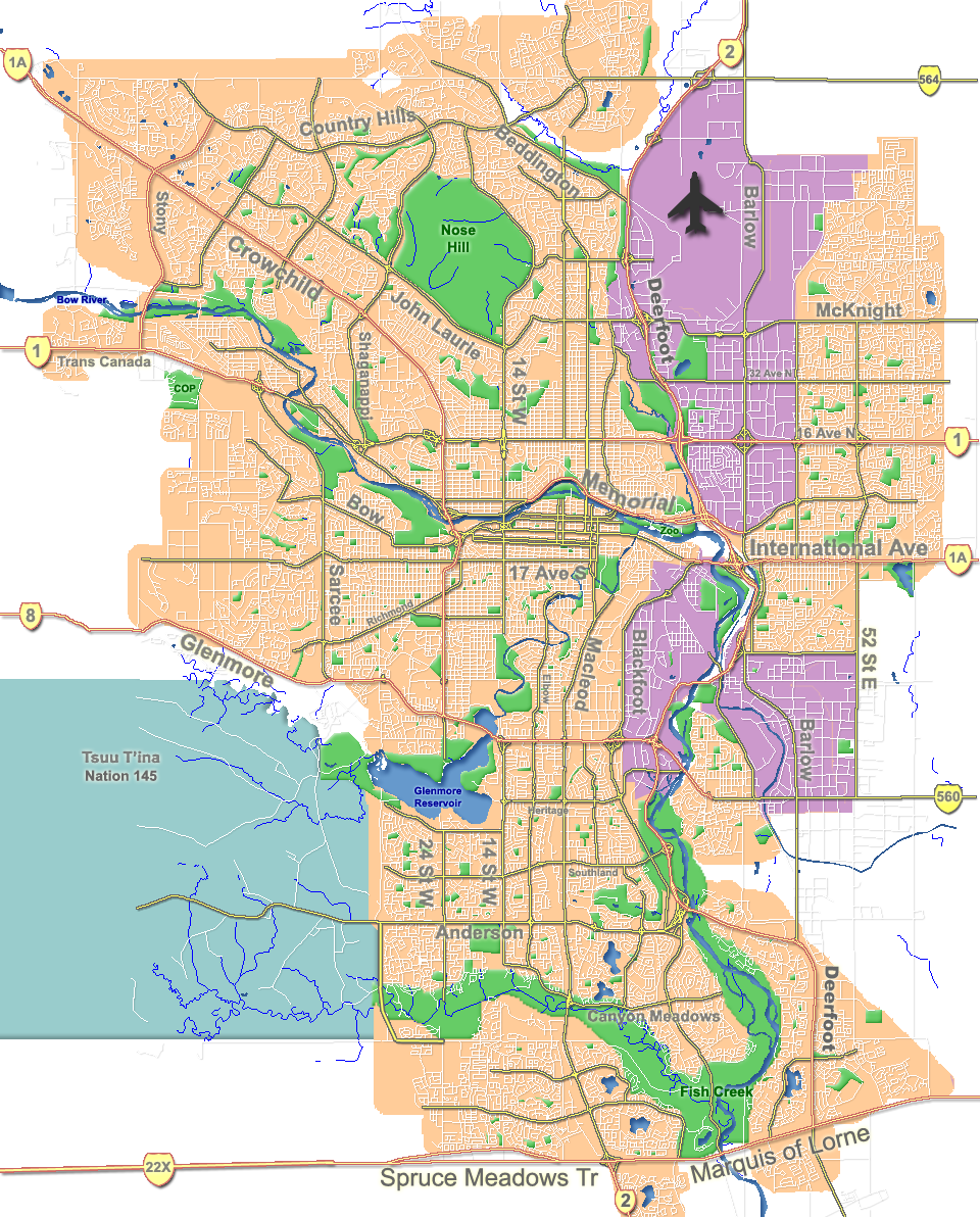
| 17:20, 16 August 2006 |  | 960 × 1,192 (802 KB) | Qyd | added airport symbol and highway shields |
| 15:21, 14 August 2006 |  | 960 × 1,192 (797 KB) | Qyd | fixed interchanges |
| 04:46, 14 August 2006 |  | 960 × 1,192 (700 KB) | Qyd | added city parks |
| 04:19, 14 August 2006 | 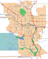 | 960 × 1,192 (645 KB) | Qyd | highways names added |
| 00:17, 14 August 2006 | 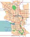 | 960 × 1,192 (491 KB) | Qyd | {{Information |Description= Outline map of Calgary |Source=GIS data |Date=Aug 2006 |Author=Qyd |Permission=All |other_versions=Image:CalgaryAB-map.png }} Category:Calgary Category:Maps of cities in Canada |
The following other wikis use this file:
- Usage on ar.wikipedia.org
- Usage on ast.wikipedia.org
- Usage on bh.wikipedia.org
- Usage on bn.wikipedia.org
- Usage on cy.wikipedia.org
- Usage on da.wikipedia.org
- Usage on eo.wikipedia.org
- Usage on es.wikipedia.org
- Usage on fa.wikipedia.org
- Usage on fi.wikipedia.org
- Usage on fo.wikipedia.org
- Usage on fr.wikipedia.org
- Usage on fr.wikivoyage.org
- Usage on fy.wikipedia.org
- Usage on hi.wikipedia.org
- Usage on id.wikipedia.org
- Usage on ja.wikipedia.org
- Usage on kn.wikipedia.org
View more global usage of this file.
This file contains additional information, probably added from the digital camera or scanner used to create or digitize it.
If the file has been modified from its original state, some details may not fully reflect the modified file.


