File:CampParapetMap1863-4.jpg
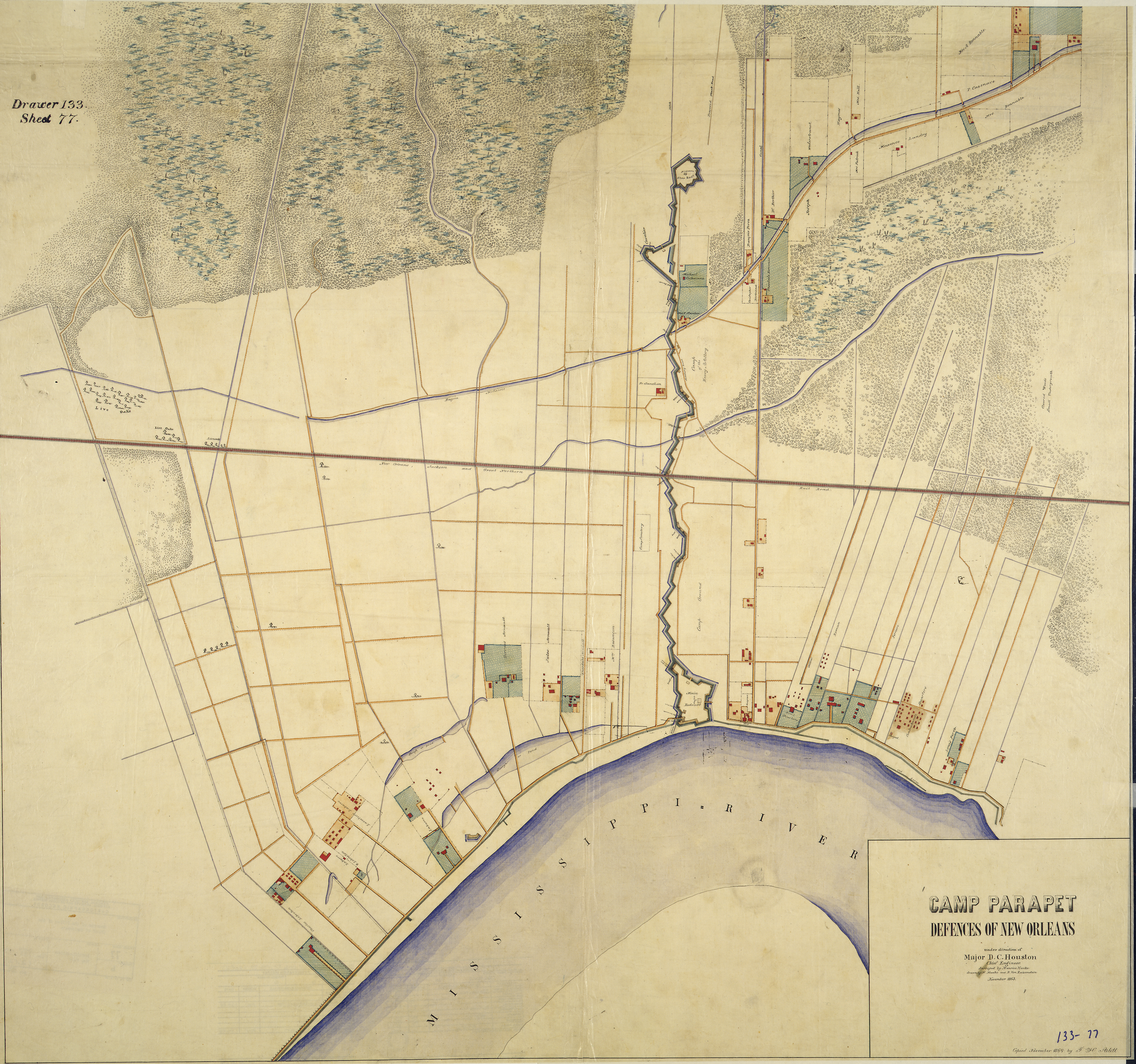
Map of American Civil War forifications upriver from New Orleans, Louisiana.
"Camp Parapet [and vicinity], Defences of New Orleans. [Compiled] under direction of Major D. C. Houston, Chief Engineer. Surveyed by Maurice Hauke, drawn by M. Hauke and B. Von Reizenstein, November 1863. Copied November 1864 by F. H. Arlitt."
Date
between 1863 and 1864
Source
1860s map via [1]
Author
M. Hauke and B. Von Reizenstein
Permission
(Reusing this file)
(Reusing this file)
|
This work is in the public domain in its country of origin and other countries and areas where the copyright term is the author's life plus 70 years or fewer. | |
| This file has been identified as being free of known restrictions under copyright law, including all related and neighboring rights. | |