File:Canada Prince Edward Island Density 2016.png
http://creativecommons.org/publicdomain/zero/1.0/deed.enCC0Creative Commons Zero, Public Domain Dedicationfalsefalse
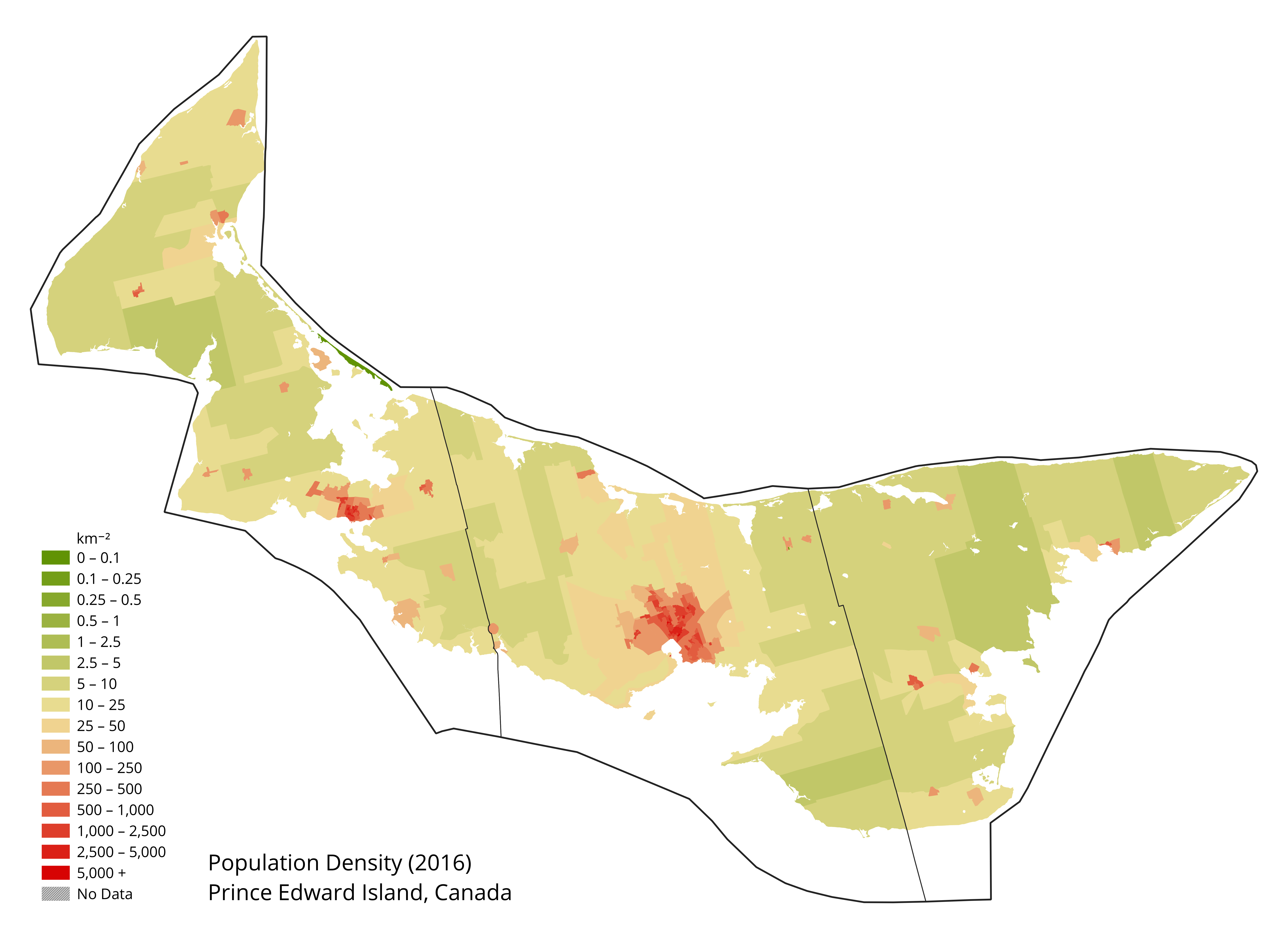
Population density map of Prince Edward Island, Canada.
Click on a date/time to view the file as it appeared at that time.
| Date/Time | Thumbnail | Dimensions | User | Comment |
|---|
| current | 15:59, 16 July 2019 |  | 6,518 × 4,785 (1.41 MB) | Awmcphee | User created page with UploadWizard |
The following 2 pages use this file:
The following other wikis use this file:
- Usage on fr.wikipedia.org
- Usage on kk.wikipedia.org
- Usage on ru.wikipedia.org