Click on a date/time to view the file as it appeared at that time.
| Date/Time | Thumbnail | Dimensions | User | Comment |
|---|
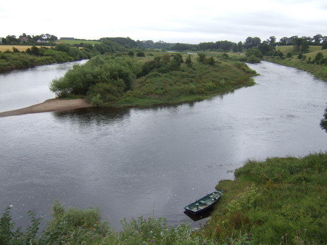
| current | 07:57, 5 February 2011 | 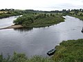 | 640 × 480 (74 KB) | GeographBot | == {{int:filedesc}} == {{Information |description={{en|1=Canny Island and the Tweed Viewed south from the Scottish bank at Ladykirk, the river island is English and the right-hand (western) arm of the Tweed is in Scotland.}} |date=2007-07-18 |source=From |
The following pages on the English Wikipedia use this file (pages on other projects are not listed):
This file contains additional information, probably added from the digital camera or scanner used to create or digitize it.
If the file has been modified from its original state, some details may not fully reflect the modified file.