Loading
  • 21 Aug, 2019

  • By, Wikipedia

File:Cape Chukotsky Region.PNG

العربية  čeština  Deutsch  Zazaki  English  español  eesti  suomi  français  hrvatski  magyar  italiano  日本語  한국어  македонски  മലയാളം  Plattdüütsch  Nederlands  polski  português  română  русский  sicilianu  slovenščina  Türkçe  Tiếng Việt  简体中文  繁體中文  +/−

Captions

Add a one-line explanation of what this file represents

Items portrayed in this file

depicts

image/png

11d051e85b593f29b5f512f4d6da6f8aa3fc9d32

806,869 byte

507 pixel

766 pixel

File history

Click on a date/time to view the file as it appeared at that time.

Date/TimeThumbnailDimensionsUserComment
current18:52, 8 October 2009Thumbnail for version as of 18:52, 8 October 2009766 × 507 (788 KB)Dankarl
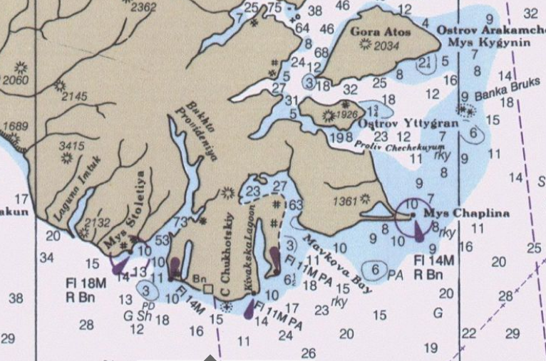
{{Information |Description={{en|1=detail from Bering Sea nautical Chart}} |Source=Historical Maps and Charts Project http://historicalcharts.noaa.gov/tiled_jpgs_done/zoomifyURLDrivenWebPage.htm?zoomifyImagePath=16006-12-2000 |Author=US Office of Coadt Sur
No pages on the English Wikipedia use this file (pages on other projects are not listed).