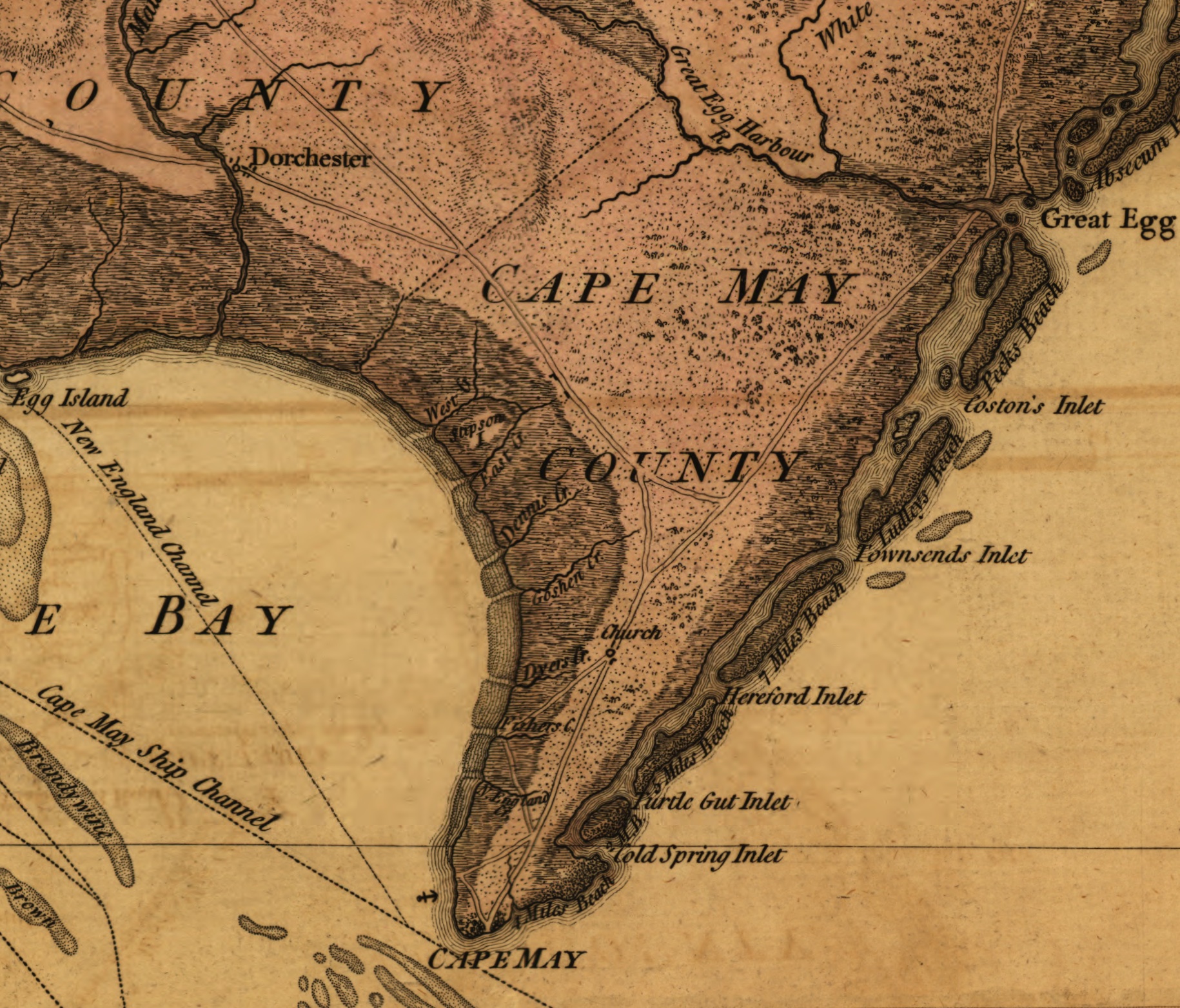
File:Cape May, New Jersey 1777.jpg
Shows county boundaries and "Division line run in 1743 between East New Jersey and West New Jersey."
Source/Photographer
Other versions
"This map has been drawn from the survey made in 1769 ... by Bernard Ratzer ... and from another large survey of the northern parts ... by Gerard Banker."
Appears in William Faden's The North American atlas. 1777.
Reference: LC Maps of North America, 1750-1789, 1238
|
This map is available from the United States Library of Congress's Geography & Map Division
under the digital ID g3810.ct000079. This tag does not indicate the copyright status of the attached work. A normal copyright tag is still required. See Commons:Licensing.
|

Licensing
This media file is in the public domain in the United States. This applies to U.S. works where the copyright has expired, often because its first publication occurred prior to January 1, 1929, and if not then due to lack of notice or renewal. See this page for further explanation.
|
 | |
 |