Click on a date/time to view the file as it appeared at that time.
| Date/Time | Thumbnail | Dimensions | User | Comment |
|---|
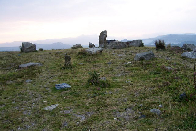
| current | 00:20, 8 August 2015 |  | 640 × 427 (208 KB) | Carl Henderson | Watermarked date stamp removed as per Graphics Lab request. |
| 19:00, 14 December 2010 |  | 640 × 427 (75 KB) | GeographBot | == {{int:filedesc}} == {{Information |description={{en|1=Carloggas Downs This downs had been covered by sand waste from china clay workings but around 2000 the industry in combination with English nature have flattened and it is being 'reclaimed' as a hea |
The following 3 pages use this file:
The following other wikis use this file:
- Usage on eu.wikipedia.org
- Usage on www.wikidata.org
This file contains additional information, probably added from the digital camera or scanner used to create or digitize it.
If the file has been modified from its original state, some details may not fully reflect the modified file.
