File:Caroline Islands-map.gif
This image is in the public domain because it contains materials that originally came from the United States Central Intelligence Agency's World Factbook.
|
 |
This image is in the public domain because it contains materials that originally came from the United States Central Intelligence Agency's World Factbook.
|
|
Click on a date/time to view the file as it appeared at that time.
| Date/Time | Thumbnail | Dimensions | User | Comment | |
|---|---|---|---|---|---|
| current | 17:07, 19 June 2010 | 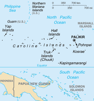 | 326 × 350 (9 KB) | Ras67 | cropped |
| 17:27, 10 August 2005 |  | 330 × 354 (10 KB) | Bradipus | Caroline Islands From http://www.cia.gov/cia/publications/factbook/geos/fm.html {{PD-USGov-CIA-WF}} |
More than 100 pages use this file. The following list shows the first 100 pages that use this file only. A full list is available.
View more links to this file.
The following other wikis use this file: