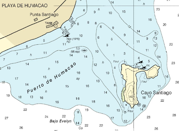
File:Cayo Santiago-chart.png
NOAA chart 25665, Punta Lima to Cayo Batata
http://www.oceangrafix.com/o.g/Charts/PR_VI/NOAA-Nautical-Chart-Punta-Lima-to-Cayo-Batata.html archive copy at the Wayback Machine
Licensing
This image is in the public domain because it contains materials that originally came from the U.S. National Oceanic and Atmospheric Administration, taken or made as part of an employee's official duties.
|
derivative works
Derivative works of this file: Visual-fix-by-three-bearings.png