File:ChainOfRocksBridge StLouisMO.jpg
This is an image of a place or building that is listed on the National Register of Historic Places in the United States of America. Its reference number is 6001091.
Summary
| Description |
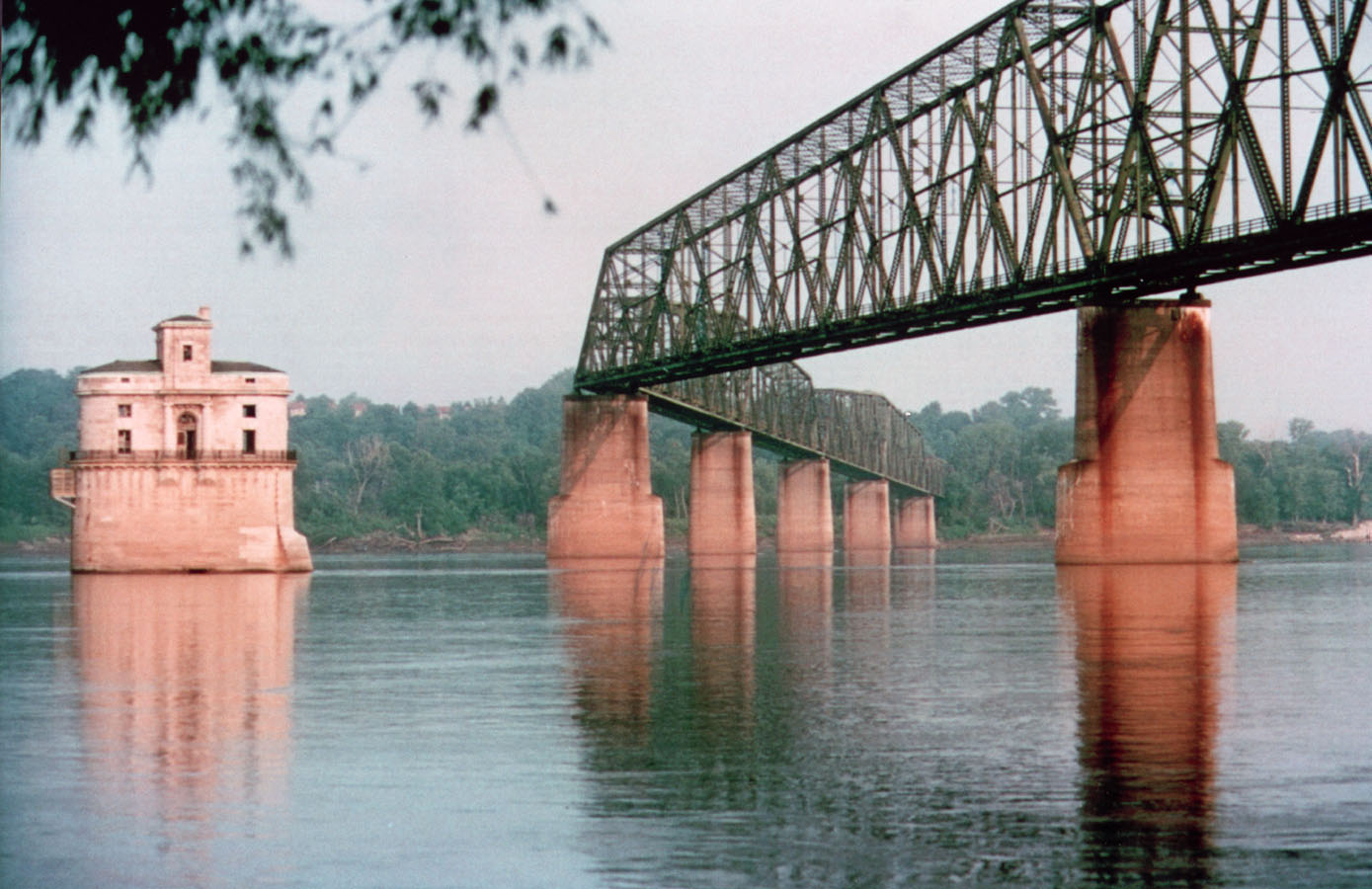
English: St. Louis Water Intake (lighthouse). Chain of Rocks Bridge crossing the Mississippi River in Saint Louis, Missouri. |
| Date | 20131112235346 |
| Source | http://www.fhwa.dot.gov/byways/photos/62782 archive copy at the Wayback Machine |
| Author | David Hinkson, http://www.trailnet.org/ |
| Object location | | View this and other nearby images on: OpenStreetMap |
|---|
Licensing
| This work has been released into the public domain by its author, David Hinkson. This applies worldwide. In some countries this may not be legally possible; if so: David Hinkson grants anyone the right to use this work for any purpose, without any conditions, unless such conditions are required by law.
|