File:Chalmazel Plan Des Pistes.jpg
Click on a date/time to view the file as it appeared at that time.
| Date/Time | Thumbnail | Dimensions | User | Comment | |
|---|---|---|---|---|---|
| current | 09:00, 21 December 2017 | 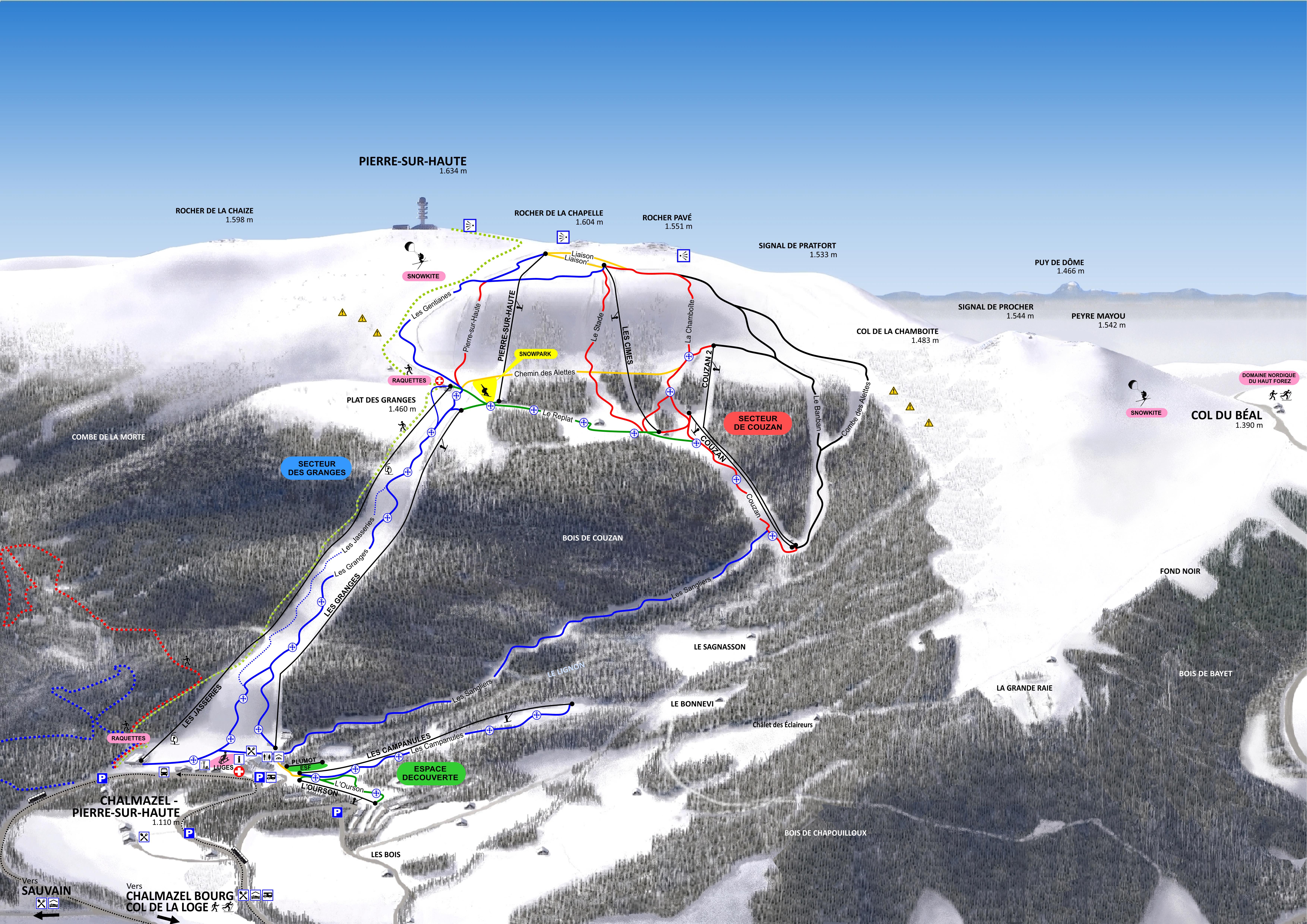 | 7,016 × 4,963 (2.95 MB) | Lolo42 | Correction noms de sommets |
| 14:30, 19 December 2017 |  | 7,016 × 4,963 (2.96 MB) | Lolo42 | Améliorations : - définition des lettres - fond de plan (végétation) - pictogrammes | |
| 09:43, 17 December 2017 |  | 3,508 × 2,481 (1.07 MB) | Lolo42 | évolutions station saison 2017 | |
| 14:12, 12 March 2015 |  | 3,299 × 2,291 (2.56 MB) | Lolo42 | Ajout Signal de Pratfort ; retouches | |
| 14:25, 9 March 2015 |  | 3,175 × 2,308 (1.55 MB) | Lolo42 | Piste Granges bleue + retouche pistes liaison | |
| 10:24, 30 October 2014 |  | 6,354 × 4,619 (5.16 MB) | Lolo42 | couleur piste Gentiannes | |
| 07:51, 28 June 2014 |  | 6,354 × 4,619 (6.33 MB) | Lolo42 | Avec le détourage, c'est mieux. | |
| 07:45, 28 June 2014 |  | 7,017 × 4,963 (2.88 MB) | Lolo42 | Snowpark + hébergements | |
| 13:31, 13 September 2013 |  | 2,800 × 2,037 (3.28 MB) | Lolo42 | modif pictos | |
| 14:28, 6 September 2013 |  | 2,800 × 2,036 (1.26 MB) | Lolo42 | oups correction altitudes |
File usage
The following page uses this file:
Global file usage
The following other wikis use this file: