File:Cheboygan County, MI Census Map.png
http://creativecommons.org/publicdomain/zero/1.0/deed.enCC0Creative Commons Zero, Public Domain Dedicationfalsefalse
Add a one-line explanation of what this file represents
Click on a date/time to view the file as it appeared at that time.
| Date/Time | Thumbnail | Dimensions | User | Comment |
|---|
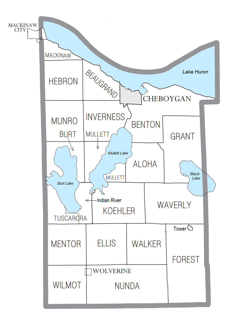
| current | 21:03, 3 July 2024 |  | 950 × 1,300 (184 KB) | Notorious4life | Added CDP of Tower |
| 17:30, 3 January 2022 |  | 950 × 1,300 (184 KB) | Notorious4life | == Summary == {{Information | description = Cheboygan County, MI census data map | source = {{own}} | date = ~~~~~ | author = Notorious4life (talk) (Uploads) | permission = | other_versions = | additional_information = }} == Licensing == {{self|cc-zero}} |
The following page uses this file:
This file contains additional information, probably added from the digital camera or scanner used to create or digitize it.
If the file has been modified from its original state, some details may not fully reflect the modified file.
