The original description page was here. All following user names refer to en.wikipedia.
2009-01-21 15:01 Chris Light 800×600× (355460 bytes) {{Information |Description=Indian Boundary Road at the junction of S.R. 49 and I-94 |Source=I created this work entirely by myself. |Date=July 31, 2007 |Author=~~~ |other_versions= }}
Captions
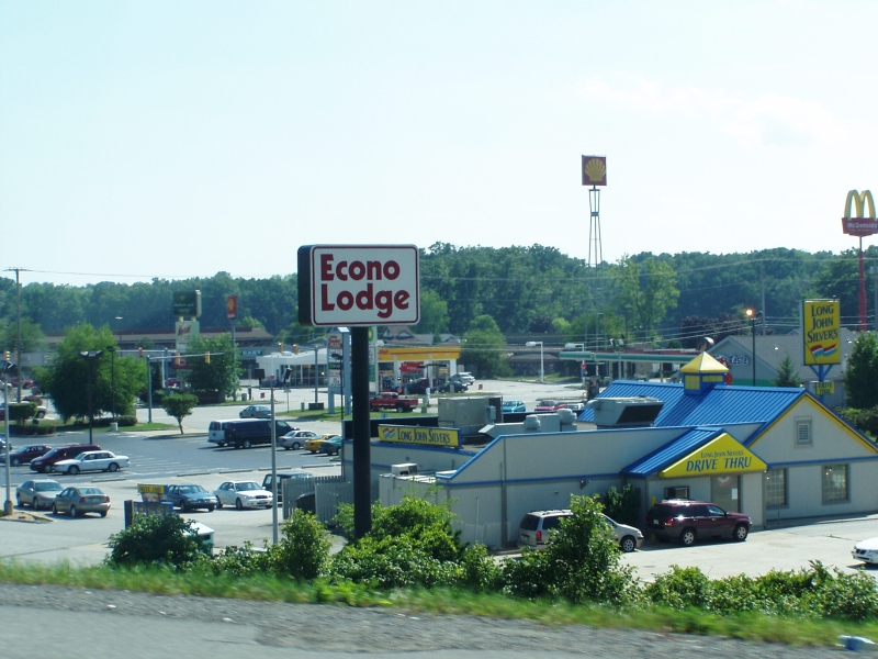
A Long John Silver's restaurant on Indian Boundary Road in Chesterton, Indiana
{{BotMoveToCommons|en.wikipedia|year={{subst:CURRENTYEAR}}|month={{subst:CURRENTMONTHNAME}}|day={{subst:CURRENTDAY}}}} {{Information |Description={{en|Indian Boundary Road at the junction of S.R. 49 and I-94<br/> == Licensing: ==}} |Source=Transferred fr
File usage
The following pages on the English Wikipedia use this file (pages on other projects are not listed):