File:Clark House Russellville KY.png
This is an image of a place or building that is listed on the National Register of Historic Places in the United States of America. Its reference number is 73000816.
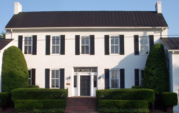
| Description |
English: The William Forst House (also known as the Clark House) in Russellville, Kentucky. This was the location where Kentucky's Confederate Government was formed. It is part of the Russellville Historic District and is listed on the National Register of Historic Places |
| Date | 26 May 2007 (original upload date) |
| Source |
Taken by user Acdixon in Russellville, KY on May 24, 2007 Transferred from en.wikipedia to Commons by Sreejithk2000 using CommonsHelper. |
| Author | Acdixon at English Wikipedia |
| Object location | | View this and other nearby images on: OpenStreetMap |
|---|
Licensing
| This work has been released into the public domain by its author, Acdixon at English Wikipedia. This applies worldwide. In some countries this may not be legally possible; if so: Acdixon grants anyone the right to use this work for any purpose, without any conditions, unless such conditions are required by law. |
Original upload log
The original description page was here. All following user names refer to en.wikipedia.
- 2007-05-26 14:07 Acdixon 600×380× (407900 bytes) Taken by user [[User:Acdixon|Acdixon]] in Russellville, KY on May 24, 2007