File:Clarke Island Aerial.jpg
Click on a date/time to view the file as it appeared at that time.
| Date/Time | Thumbnail | Dimensions | User | Comment | |
|---|---|---|---|---|---|
| current | 05:30, 8 January 2010 | 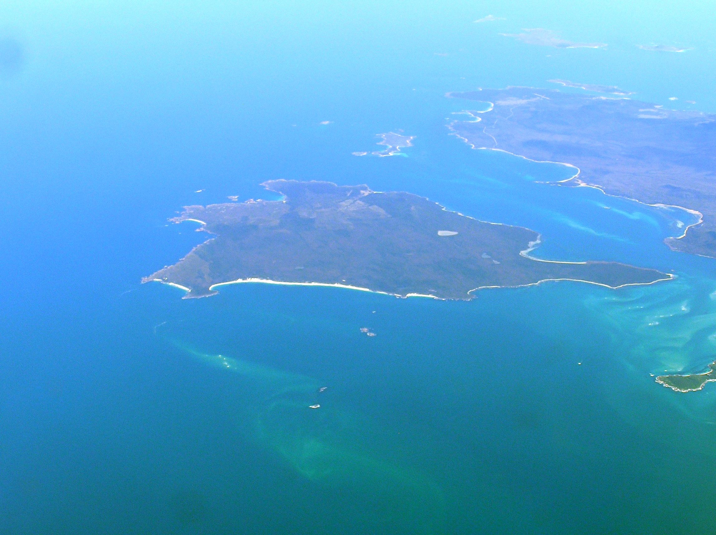 | 2,288 × 1,712 (2.55 MB) | Graeme Bartlett | {{Information |Description={{en|1=Aerial view of Clarke Island Tasmania from south east, Preservation Island above, and Cape Barren Island to the right.}} |Source={{own}} |Author=Graeme Bartlett |Date=2008-08-23 |Permission= |othe |
File usage
The following pages on the English Wikipedia use this file (pages on other projects are not listed):
Global file usage
The following other wikis use this file:
- Usage on ceb.wikipedia.org
- Usage on de.wikipedia.org
- Usage on hy.wikipedia.org
- Usage on it.wikipedia.org
- Usage on ru.wikipedia.org
- Usage on www.wikidata.org