Click on a date/time to view the file as it appeared at that time.
| Date/Time | Thumbnail | Dimensions | User | Comment |
|---|
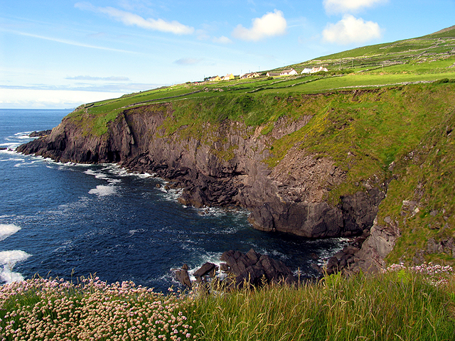
| current | 02:10, 30 January 2010 |  | 640 × 480 (484 KB) | GeographBot | == {{int:filedesc}} == {{Information |description={{en|1=Cliffs along the Dingle Way towards Slea Head. These cliffs are on the west side of the Dunbeg fort and in this picture area viewed from the fort, looking more or less west.}} |date=2005-05-30 |sour |
The following pages on the English Wikipedia use this file (pages on other projects are not listed):
The following other wikis use this file:
- Usage on fr.wikipedia.org
- Usage on nl.wikipedia.org
This file contains additional information, probably added from the digital camera or scanner used to create or digitize it.
If the file has been modified from its original state, some details may not fully reflect the modified file.