File:CloverleafTXMap.png
Original upload log
| Date/Time | Dimensions | User | Comment |
|---|---|---|---|
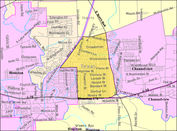
| 20 December 2008, 22:47:21 | 575 × 425 (60387 bytes) | WhisperToMe (talk · contribs) | {{Information |Description={{en|1=Map of [[:en:Cloverleaf, Texas|Cloverleaf CDP]]}} |Source=http://factfinder.census.gov/servlet/MapItDrawServlet?geo_id=16000US4815628&_bucket_id=50&tree_id=420&context=saff&_lang=en&_sse=on |Author=US Federal Gov |Date= | |