File:Coast Guard Island May 2009.jpg

| Object location | | View this and other nearby images on: OpenStreetMap |
|---|
| Object location | | View this and other nearby images on: OpenStreetMap |
|---|
Click on a date/time to view the file as it appeared at that time.
| Date/Time | Thumbnail | Dimensions | User | Comment | |
|---|---|---|---|---|---|
| current | 01:56, 6 October 2009 | 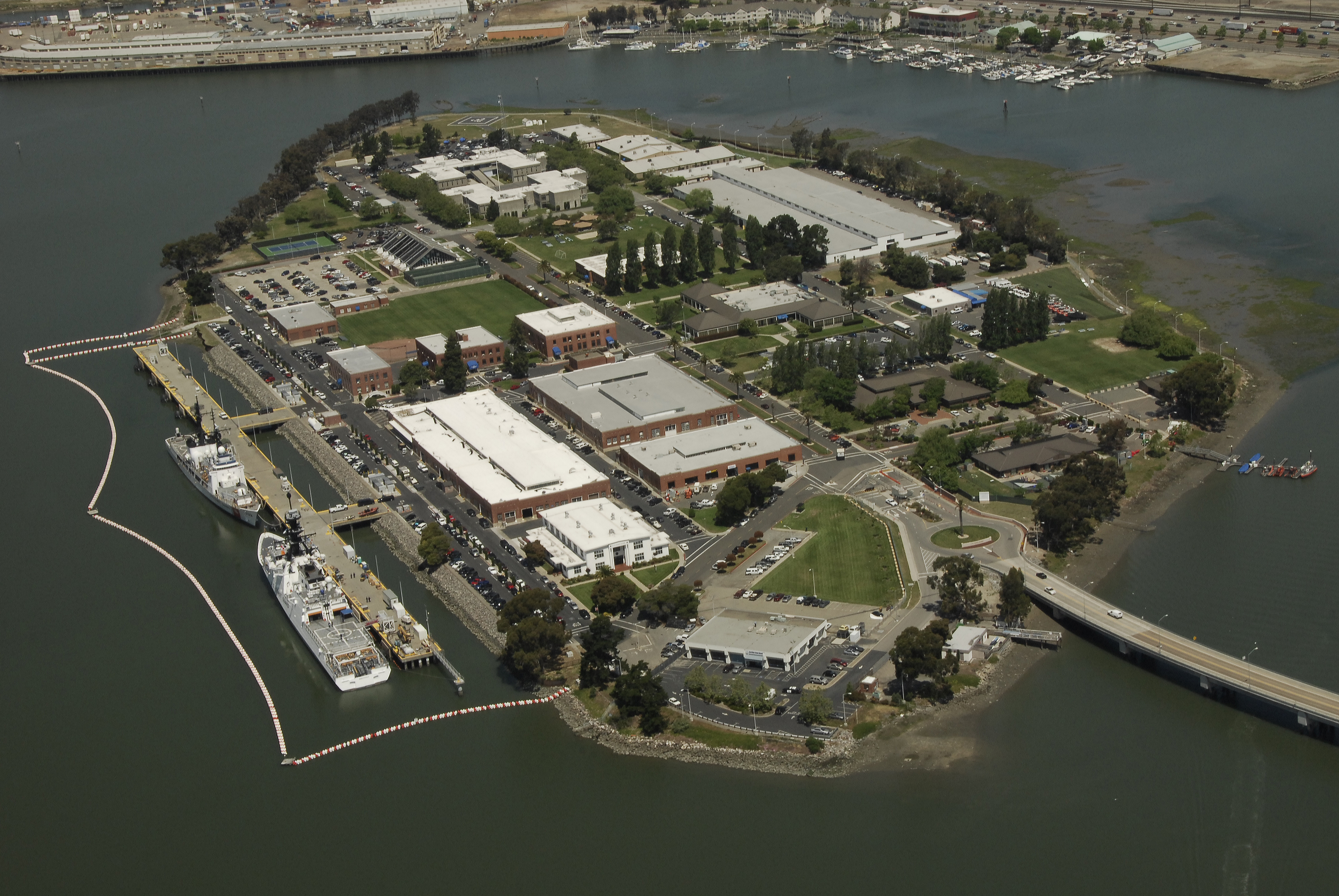 | 3,872 × 2,592 (6.74 MB) | Life of Riley | {{Information |description ={{en|Coast Guard Island is in the Oakland Estuary between Oakland and Alameda, Calif. The 67-acre island is situated in the historic Brooklyn Basin, now known as Embarcadero Cove. The Island supports a number of Coast Guard |
The following 3 pages use this file:
The following other wikis use this file: